

- Usage in publication:
-
- Herod gravel*
- Modifications:
-
- Named
- Dominant lithology:
-
- Gravel
- AAPG geologic province:
-
- Atlantic Coast basin
Summary:
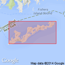
Herod gravel mapped on Fishers Island. Consists of sandy gravels, with good proportion of pebbles, mainly of granitic rocks. Unit is 30 to 100 ft thick. Unconformably underlies Montauk drift and conformably overlies Jacob sand. Correlated with Illinoian stage of Mississippi Valley.
Source: GNU records (USGS DDS-6; Reston GNULEX).
- Usage in publication:
-
- Herod gravel member*
- Modifications:
-
- Revised
- AAPG geologic province:
-
- Atlantic Coast basin
Summary:
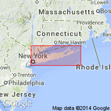
Manhasset gravels here referred to as Manhasset formation. Formation consists of glacial deposits, 150 to 250 ft thick, and is correlated with Illinoian stage of Mississippi Valley. Divided into ascending Herod gravel member, Montauk till member, and Hempstead gravel member. Contacts between members are unconformable. Hempstead and Herod are similar lithologically. Both consist of sandy gravels with good proportion of pebbles, mainly of granitic rocks. In some places members are prevailingly sandy, and in others chiefly gravel. Locally, the lithologic change is abrupt vertically and horizontally. Generally, members contain more sand toward base and more gravel toward top. In the more normal phases the deposits consist of an alternating thin layers of sand and gravel, the whole having a gravelly aspect. Hempstead is 0 to 75 ft thick and occurs on Long Island and on Plum, Gardiners, and Robins Islands. Herod overlies Jacob sand. Time of deposition called Herod substage.
Source: GNU records (USGS DDS-6; Reston GNULEX).
- Usage in publication:
-
- Herod Gravel Member
- Modifications:
-
- Overview
- AAPG geologic province:
-
- Atlantic Coast basin
Summary:
Authors review usage of Fuller (1914) who applied the name Manhasset with its three members (Hempstead, Montauk, and Herod) to the Columbia formation of Woodworth. Fuller classified this formation as being older than the Vineyard erosion interval and assigned the Manhasset to the Illinoian. This report assigns the Manhasset of Fuller (including debris flows) to the Kansan(?), and interprets its origin as deltaic, deposited in Lake Long Island dammed on the south in part by pre-Ronkonkoma terminal-moraine ridge. Manhasset is older than Gardiners Clay (Yarmouthian).
Source: GNU records (USGS DDS-6; Reston GNULEX).
For more information, please contact Nancy Stamm, Geologic Names Committee Secretary.
Asterisk (*) indicates published by U.S. Geological Survey authors.
"No current usage" (†) implies that a name has been abandoned or has fallen into disuse. Former usage and, if known, replacement name given in parentheses ( ).
Slash (/) indicates name conflicts with nomenclatural guidelines (CSN, 1933; ACSN, 1961, 1970; NACSN, 1983, 2005, 2021). May be explained within brackets ([ ]).