The National Geologic Map Database is migrating to a new infrastructure. We apologize for any service disruptions during this process.
|
|---|


- Usage in publication:
-
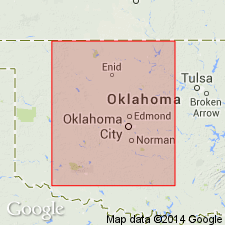
- Hennessey shale
- Modifications:
-
- Original reference
- Dominant lithology:
-
- Shale
- AAPG geologic province:
-
- Anadarko basin
Summary:
Pg. 786-799. Hennessey shale of Enid group. A series of clay shales, approximately 400 feet thick, in north-central Oklahoma underlying Duncan sandstone, overlying Garber sandstone and corresponding to lower part of Harper sandstone of Kansas. These shales are rarely fissile or laminated, but more commonly blocky, and break with conchoidal fracture. Are characterized by numerous bands or streaks of white or light-green color, varying in thickness from a few inches to 4 or more feet. Divided into Bison sandstone member above and Fairmont shale member below. Included in Enid group.
Named from exposures at Hennessey, Kingfisher Co., central OK.
Source: US geologic names lexicon (USGS Bull. 896, p. 941).
- Usage in publication:
-
- Hennessey Shale
- Modifications:
-
- Revised
- AAPG geologic province:
-
- South Oklahoma folded belt
Summary:
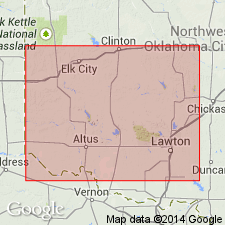
First published use of name Brinkman Sandstone Bed for a 5 to 10 ft thick bed of gray, very fine grained sandstone in the upper part of the Hennessey Shale. Brinkman overlies and underlies unnamed red-brown to gray shale of Hennessey. Measured sections. Graphic section. Underlying unit not stated. Overlying unit in Greer Co, OK, S. Oklahoma folded belt province, is a sandstone "Duncan-San Angelo" Sandstone. Permian age.
Source: GNU records (USGS DDS-6; Denver GNULEX).
For more information, please contact Nancy Stamm, Geologic Names Committee Secretary.
Asterisk (*) indicates published by U.S. Geological Survey authors.
"No current usage" (†) implies that a name has been abandoned or has fallen into disuse. Former usage and, if known, replacement name given in parentheses ( ).
Slash (/) indicates name conflicts with nomenclatural guidelines (CSN, 1933; ACSN, 1961, 1970; NACSN, 1983, 2005, 2021). May be explained within brackets ([ ]).