The National Geologic Map Database is migrating to a new infrastructure. We apologize for any service disruptions during this process.
|
|---|


- Usage in publication:
-
- Henley shale member
- Modifications:
-
- Original reference
- Dominant lithology:
-
- Shale
- AAPG geologic province:
-
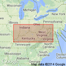
- Appalachian basin
Summary:
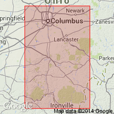
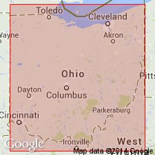
Pg. 656, 657, 758, 762, 769. Henley shale member of Cuyahoga formation. Alternating gray and red shales and sandstones, the red color and the sandstones disappearing to east. Thickness ranges from 5.5 to over 226 feet. Basal member of Cuyahoga formation in Scioto, Pike, and Ross Counties. Underlies Buena Vista sandstone member ("City Ledge") and overlies Sunbury shale. Is lower part of Buena Vista member of Prosser and Cumings. Age is Mississippian.
Named from Henley, Scioto Co., southern OH.
Source: US geologic names lexicon (USGS Bull. 896, p. 941).
- Usage in publication:
-
- Henley shale member
- Modifications:
-
- Revised
- Areal extent
- AAPG geologic province:
-
- Appalachian basin
Summary:
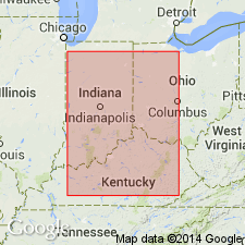
Pg. 129, 130. Henley shale member of New Providence formation. Geographically extended into northern Kentucky where it is classed as member at base of New Providence formation; underlies Farmers siltstone member (new). In area of Bledstone facies, as much as 12 feet thick. [Age is Early Mississippian (Kinderhook).]
Source: US geologic names lexicon (USGS Bull. 1200, p. 1733).
- Usage in publication:
-
- Henley shale facies
- Modifications:
-
- Revised
- AAPG geologic province:
-
- Appalachian basin
Summary:
Pg. 172; Jour. Geol., v. 50, no. 1, p. 45, 1942. Henley shale facies of Cuyahoga formation. Includes Henley shale member. [Age is Early Mississippian (Kinderhook).]
Source: US geologic names lexicon (USGS Bull. 1200, p. 1733).
- Usage in publication:
-
- Henley Bed*
- Modifications:
-
- Revised
- Adopted
- AAPG geologic province:
-
- Appalachian basin
Summary:
Henley Shale Member of New Providence Formation, as used by Stockdale (1939) adopted by the USGS as Henley Bed, basal unit of the Farmers Member of Borden Formation. Recognized in eastern Kentucky. Age is Mississippian.
Source: Changes in stratigraphic nomenclature, 1970 (USGS Bull. 1354-A, p. A12-A13).
- Usage in publication:
-
- Henley Bed
- Modifications:
-
- Overview
- AAPG geologic province:
-
- Appalachian basin
Summary:
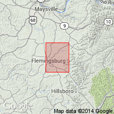
Henley Bed forms base of Borden Formation, below the turbidites of the Farmers Member, at Morehead, KY. Composed of gray shale, the Henley represents a time of increased oxygenation of the seafloor relative to the anoxic conditions associated with the deposition of the underlying Sunbury Shale. Thickness of the Henley Bed varies from a maximum of 90 ft at the northeast end of the outcrop belt to a minimum of 10 ft in the Morehead area. The Henley represents hemipelagic sedimentation prior to the active progradation of the Borden delta. Age is Early Mississippian. The Kinderhookian/ Osagean boundary occurs within the Henley. Equivalent to the uppermost part of the Price Formation of WV.
Source: GNU records (USGS DDS-6; Reston GNULEX).
For more information, please contact Nancy Stamm, Geologic Names Committee Secretary.
Asterisk (*) indicates published by U.S. Geological Survey authors.
"No current usage" (†) implies that a name has been abandoned or has fallen into disuse. Former usage and, if known, replacement name given in parentheses ( ).
Slash (/) indicates name conflicts with nomenclatural guidelines (CSN, 1933; ACSN, 1961, 1970; NACSN, 1983, 2005, 2021). May be explained within brackets ([ ]).