- Usage in publication:
-
- Hells Mesa Formation
- Modifications:
-
- Paleomagnetics
- AAPG geologic province:
-
- Basin-and-Range province
Summary:
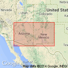
Sections have been examined at Chloride Canyon and at Lookout Mountain in the Black Range, Sierra Co, NM, Orogrande basin. At Chloride Canyon, a sequence of basal andesites is normally magnetized. These in turn are overlain by a massive, thick, ash-flow tuff which forms striking cliffs. The basal andesite and the ash-flow tuff have, respectively and tentatively, been correlated with Spears and Hells Mesa Formations (of Tonking, 1957) by Coney (1976). The Hells Mesa is reversely magnetized--thus, in this report the authors have correlated it with Tadpole Ridge Formation. In the Bear and Magdalena Mountains, Socorro Co, NM, Orogrande basin, flows of La Jara Peak Andesite are found to be normally magnetized; these flows are underlain by Hells Mesa Rhyolite ash-flow tuff. Magnetostratigraphic position of Spears, Hells Mesa, Tadpole Ridge, and La Jara Peak units within a preliminary model of the middle Tertiary paleomagnetic reversal pattern is depicted on fig. 4.
Source: GNU records (USGS DDS-6; Denver GNULEX).

- Usage in publication:
-
- Hells Mesa Tuff
- Modifications:
-
- Revised
- Redescribed
- Geochronologic dating
- Dominant lithology:
-
- Tuff
- AAPG geologic province:
-
- Orogrande basin
Summary:
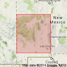
Type section of Tonking (1957, unpub) included Hells Mesa Tuff plus La Jencia and Vicks Peak Tuffs of this report, and thickness he reported is less than half that of authors of this report. Section remeasured in sec 36, T2N, R5W and sec 31, T2N, R4W, Socorro Co, NM, Orogrande basin, approximately 17 mi north-northwest of Magdalena, 3.6 mi northwest of Hells Mesa, and 0.3 mi southwest of Bluff Springs, north end of Bear Mountains. Replaces term Potato Canyon Rhyolite Tuff (abandoned). Composed of poorly, moderately to densely welded crystal-rich, quartz rich ash-flow tuff that has sanidine, plagioclase, and biotite phenocrysts, and lithic fragments of andesite and crystal-rich pumice. 233 ft thick in type measured section. Is a simple cooling unit erupted from the Socorro cauldron. Outflow facies ranges from 0-800 ft thick. Cauldron facies is greater than 3,000 ft thick. Overlies Spears Formation of Datil Group. Underlies La Jencia Tuff (new), at type. Present throughout northeast Mogollon-Datil volcanic field, except for southern Chupadera Mountains and northern Jornada del Muerto. Is one of the thickest and most widespread sheets of the field. Has a 33.1 m.y. date from average of several K-Ar biotite dates, or Oligocene.
Source: GNU records (USGS DDS-6; Denver GNULEX).

- Usage in publication:
-
- Hells Mesa Tuff
- Modifications:
-
- Geochronologic dating
- AAPG geologic province:
-
- Basin-and-Range province
Summary:
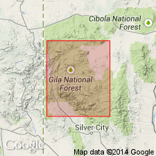
May be the correlative in the northern part of the Mogollon-Datil volcanic field of the Fall Canyon Tuff in Catron Co, NM, Basin-and-Range province. Has a 40Ar/39Ar age of 32.04 m.y. Has yielded ages of 33.2 +/-1.1, 33.0 +/-1.1, and 32.3 +/-1.5 m.y. (biotite), 32.1 +/-0.7, 30.9 +/-1.1, and 28.6 +/-1.0 (sanidine), 31.4 +/-2.6 and 29.3 +/-3.0 (zircon), and 31.1 +/-1.9 (plagioclase). Is the same general age as the Fall Canyon Tuff. [These ages are generally regarded as Oligocene].
Source: GNU records (USGS DDS-6; Denver GNULEX).

- Usage in publication:
-
- Hells Mesa Tuff*
- Modifications:
-
- Overview
- Geochronologic dating
- Paleomagnetics
- AAPG geologic province:
-
- Basin-and-Range province
Summary:
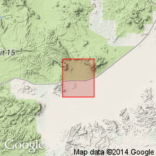
Is distal outflow from the Socorro caldera. Is mapped in Horse Mountain West quad, Catron Co, NM in eastern part of Basin-and-Range province. Is thin, discontinuous, nearly white, quartz-bearing, phenocryst-rich ash-flow tuff. Is exposed only west and south of Jack Peak in southwest corner of quad, and interlayered in volcaniclastic rocks beneath Vicks Peak Tuff along South Fork Alamocito Creek in northwest corner of quad, where identification is supported by paleomagnetic direction. Is 0 to about 10 m thick. Natural remanent magnetism determined as follows: mean inclination, -60.7; mean declination, 157.2; polarity, reversed. Isotopic dating: 40Ar/39Ar age is 32.03 Ma, Oligocene.
Source: GNU records (USGS DDS-6; Denver GNULEX).
For more information, please contact Nancy Stamm, Geologic Names Committee Secretary.
Asterisk (*) indicates published by U.S. Geological Survey authors.
"No current usage" (†) implies that a name has been abandoned or has fallen into disuse. Former usage and, if known, replacement name given in parentheses ( ).
Slash (/) indicates name conflicts with nomenclatural guidelines (CSN, 1933; ACSN, 1961, 1970; NACSN, 1983, 2005, 2021). May be explained within brackets ([ ]).

