- Usage in publication:
-
- Heller dacite*
- Modifications:
-
- Named
- Dominant lithology:
-
- Dacite
- Andesite
- AAPG geologic province:
-
- Great Basin province
Summary:
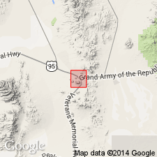
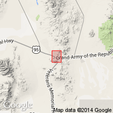
[Named for Heller Butte near town of Tonopah, NV]. Composes Heller Butte. Consists of vesicular glassy dacite containing numerous inclusions (sometimes large boulders) of pumiceous material, frequently of later andesite, and occasionally of coarse siliceous granite. Forms numerous small cones along lines of weakness and was poured forth in relatively limited quantities. Is older than intrusive Brougher dacite (new). Appears to dip under Fraction dacite breccia (new) and to immediately precede formation of that breccia. [According to T.B. Nolan (personal commun, Jan.3, 1933) this rock may be contemporaneous with Esmeralda formation (late Miocene age.]
Source: GNU records (USGS DDS-6; Menlo GNULEX).

- Usage in publication:
-
- Heller Dacite
- Modifications:
-
- Not used
- AAPG geologic province:
-
- Great Basin province
Summary:
Geologic sketch map of Tonopah district shows rocks at Heller Butte as one of lithologic ash-flows of Fraction Tuff. [Name Heller Dacite is not used.]
Source: GNU records (USGS DDS-6; Menlo GNULEX).

- Usage in publication:
-
- Heller Tuff
- Modifications:
-
- Redescribed
- Geochronologic dating
- AAPG geologic province:
-
- Great Basin province
Summary:
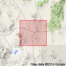
Type locality [designated] at Heller Butte, NE/4 sec.2 T2N R42E, Nye Co, NV. Shown on geologic map of Tonopah district and surrounding quads at Heller Butte and north and east flanks of Mount Butte in western part of Divide district. Name modified to Heller Tuff because unit is entirely quartz latite ash-flow tuff. Has maximum thickness of 90 m. Unconformably overlies Tonopah Summit and King Tonopah Members of Fraction Tuff; unconformably underlies Siebert Formation. K-Ar determinations on biotite and alkali feldspar from Heller Tuff collected at type locality yielded respectively 17.1 +/-0.3 Ma and 16.9 +/-0.3 Ma. Age is Miocene.
Source: GNU records (USGS DDS-6; Menlo GNULEX).

- Usage in publication:
-
- Heller dacite†
- Modifications:
-
- Abandoned
- AAPG geologic province:
-
- Great Basin province
Summary:
Rocks originally assigned to Heller Dacite are now included in Fraction Tuff as stratigraphically expanded by Bonham and Garside (1974) at expense of old name.
Source: GNU records (USGS DDS-6; Menlo GNULEX).
For more information, please contact Nancy Stamm, Geologic Names Committee Secretary.
Asterisk (*) indicates published by U.S. Geological Survey authors.
"No current usage" (†) implies that a name has been abandoned or has fallen into disuse. Former usage and, if known, replacement name given in parentheses ( ).
Slash (/) indicates name conflicts with nomenclatural guidelines (CSN, 1933; ACSN, 1961, 1970; NACSN, 1983, 2005, 2021). May be explained within brackets ([ ]).

