- Usage in publication:
-
- Heglar Canyon member
- Modifications:
-
- First used
- AAPG geologic province:
-
- Great Basin province
- Snake River basin
Summary:
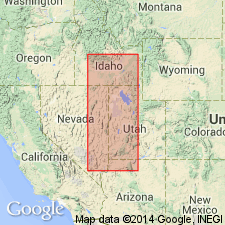
Wells formation divided into (ascending order): Calder Creek, Heglar Canyon, Sublett, and Indian Fork members (all new) in Sublett Mountains, ID in Great Basin province and Snake River basin. Overlies Milligen formation; underlies Grandeur member of Park City formation. New members shown only on a chart; no definition or description included in report. [Member names should be considered invalid.]
Source: GNU records (USGS DDS-6; Denver GNULEX).

- Usage in publication:
-
- Heglar Canyon Formation
- Modifications:
-
- Revised
- AAPG geologic province:
-
- Great Basin province
Summary:
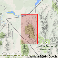
Removed as the upper member of Wells Formation and newly assigned as a formation (1 of 5) to the Oquirrh Group in Cassia and Oneida Cos, ID in the Great Basin province. Overlies unnamed basal sandstone of Oquirrh. Underlies Tussing Formation of Oquirrh. Is the lowest limestone in the Oquirrh. Has little sandstone or siltstone. Probably more than 300 m thick. PROFUSULINELLA fauna at top indicate an Atokan age. Western extent uncertain. Nomenclature chart. Columnar section. Geologic map.
Source: GNU records (USGS DDS-6; Denver GNULEX).
For more information, please contact Nancy Stamm, Geologic Names Committee Secretary.
Asterisk (*) indicates published by U.S. Geological Survey authors.
"No current usage" (†) implies that a name has been abandoned or has fallen into disuse. Former usage and, if known, replacement name given in parentheses ( ).
Slash (/) indicates name conflicts with nomenclatural guidelines (CSN, 1933; ACSN, 1961, 1970; NACSN, 1983, 2005, 2021). May be explained within brackets ([ ]).

