

- Usage in publication:
-
- Hazelhurst [formation]
- Modifications:
-
- First used
- AAPG geologic province:
-
- Atlantic Coast basin
Summary:
Name Hazelhurst appears in table 1 as part of a list of Pleistocene formations. Occurs below Coharie formation.
Source: GNU records (USGS DDS-6; Reston GNULEX).

- Usage in publication:
-
- Hazelhurst Formation, terrace
- Modifications:
-
- Named
- Overview
- Age modified
- Dominant lithology:
-
- Sand
- Gravel
- Silt
- Clay
- AAPG geologic province:
-
- Atlantic Coast basin
Summary:
Hazelhurst Formation, described in this report, consists of basal cross-bedded sands and coarse gravels grading upward to silt, sand, and clay. Thickness 250-270 ft. Underlies Coharie Formation. Also called Hazelhurst terrace. Occurs in Congaree River valley. Age given here as post middle Eocene to pre-late Miocene.
Source: GNU records (USGS DDS-6; Reston GNULEX).
- Usage in publication:
-
- Hazelhurst Formation
- Modifications:
-
- Areal extent
- Age modified
- AAPG geologic province:
-
- Atlantic Coast basin
Summary:
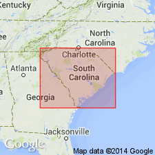
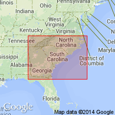
Hazelhurst Formation recognized in NC, SC, and GA. Age here is given as Pleistocene.
Source: GNU records (USGS DDS-6; Reston GNULEX).
For more information, please contact Nancy Stamm, Geologic Names Committee Secretary.
Asterisk (*) indicates published by U.S. Geological Survey authors.
"No current usage" (†) implies that a name has been abandoned or has fallen into disuse. Former usage and, if known, replacement name given in parentheses ( ).
Slash (/) indicates name conflicts with nomenclatural guidelines (CSN, 1933; ACSN, 1961, 1970; NACSN, 1983, 2005, 2021). May be explained within brackets ([ ]).