

- Usage in publication:
-
- Hays sandstone member
- Modifications:
-
- First used
- Dominant lithology:
-
- Sandstone
- AAPG geologic province:
-
- Permian basin
Summary:
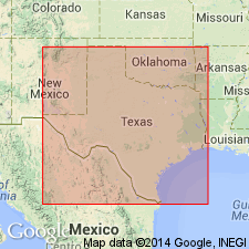
Designated Hays sandstone member (informal) in the upper part of the Bell Canyon Formation of the Delaware Mountain Group. Occurs in the Delaware basin area [in Permian basin], southwest Texas and southeast New Mexico. Hays sandstone member defined from gamma-ray logs as a sandstone directly overlain by a shaly bed. Shaly bed is slightly more radioactive than the laminated facies of the overlying Olds sandstone member (informal) of Bell Canyon. Overlies undifferentiated [lower] Bell Canyon. Age is Permian (Guadalupian). Report includes stratigraphic chart and subsurface log correlations.
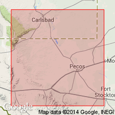
Named from Hays field in western Reeves Co., TX, where it is a producing interval.
Source: Modified from GNU records (USGS DDS-6; Denver GNULEX).
- Usage in publication:
-
- Hays Member
- Modifications:
-
- Named
- AAPG geologic province:
-
- Permian basin
Summary:
Pg. 7-10. The Hays Member of the Bell Canyon Formation of the Delaware Mountain Group. The Hays Member, here [formally] named, is the [stratigraphically] lowest producing unit in the informal "A" sand in the upper Bell Canyon Formation of the Delaware Mountain Group in the central Delaware basin of Texas and New Mexico. Called the informal Hays sandstone member of the Bell Canyon by Grauten (1965), who defined it is as the petroleum-producing sand in the Hays field. The producing sand is now correlated with the Olds Member [new, formal] of the Bell Canyon, the main pay in the Olds field. The Hays is also a producing sand in the Quito field. Consists of silty, fine-grained sandstone and displays clean gamma-ray response and good porosity development at the base; the upper portion is relatively shaly and has lower porosity due to an increase in carbonate cement. Overlies the informal Bell Canyon "B" sand; underlies the Olds Member. Thickness ranges from 40 feet in the type well to 110 feet. [Age is Permian (Guadalupian).]
Type section (subsurface): Gulf J.R. Grandin No. 1 well, sonic-gamma ray log, SE/4 sec. 33, Blk. 29 PSL Survey, Loving Co., TX. Named from the Hays field, Reeves Co., TX.
Source: US geologic names lexicon (USGS Bull. 1565, p. 126-127).
For more information, please contact Nancy Stamm, Geologic Names Committee Secretary.
Asterisk (*) indicates published by U.S. Geological Survey authors.
"No current usage" (†) implies that a name has been abandoned or has fallen into disuse. Former usage and, if known, replacement name given in parentheses ( ).
Slash (/) indicates name conflicts with nomenclatural guidelines (CSN, 1933; ACSN, 1961, 1970; NACSN, 1983, 2005, 2021). May be explained within brackets ([ ]).