- Usage in publication:
-
- Hay Creek coal formation*
- Modifications:
-
- Named
- Biostratigraphic dating
- Dominant lithology:
-
- Shale
- Sandstone
- Coal
- AAPG geologic province:
-
- Powder River basin
Summary:
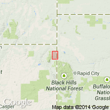
Named as a formation in Hay Creek coal field, Crook Co, WY in Powder River basin, presumably for exposures along the south fork of Hay Creek, Crook Co, WY. Type section not designated. Formerly included in Dakota group of Newton and Jenney (1880). Consists of (descending): massive sandstone, ochre-yellow, weathering yellowish-brown on the surface, underlain by gray and drab clay shales with local thin coals and plant remains, 10-20 ft; coal, mined at the mines of Larrabee and Young and at Barrett, 2-6 ft; gray clay shales and sandy shales with plant remains, 20-35 ft; soft gray or yellow sandstones with carbonized plant remains, 5-20 ft. Overlain by Barrett shale (new) without positive evidence of unconformity; unconformably overlies Beulah clay (new). Early Cretaceous in age, based on plant remains [reported by Fontaine, W. M., 1899, Notes on Lower Cretaceous plants from the Hay Creek coal field, Crook County, Wyoming: U.S. Geological Survey 19th Annual Report, pt. 2, p. 645-702].
Source: GNU records (USGS DDS-6; Denver GNULEX).

- Usage in publication:
-
- Hay Creek coal formation
- Modifications:
-
- Not used
Summary:
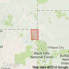
Name not used in the area of the Hay Creek coal field, Crook Co, WY. Lakota formation used to include rocks at about the same stratigraphic position. Is Early Cretaceous in age.
Source: GNU records (USGS DDS-6; Denver GNULEX).
For more information, please contact Nancy Stamm, Geologic Names Committee Secretary.
Asterisk (*) indicates published by U.S. Geological Survey authors.
"No current usage" (†) implies that a name has been abandoned or has fallen into disuse. Former usage and, if known, replacement name given in parentheses ( ).
Slash (/) indicates name conflicts with nomenclatural guidelines (CSN, 1933; ACSN, 1961, 1970; NACSN, 1983, 2005, 2021). May be explained within brackets ([ ]).

