The National Geologic Map Database is migrating to a new infrastructure. We apologize for any service disruptions during this process.
|
|---|


- Usage in publication:
-
- Haverhill Granodiorite*
- Modifications:
-
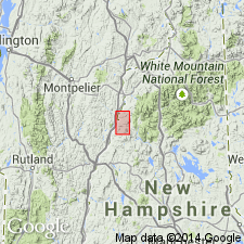
- Areal extent
- AAPG geologic province:
-
- New England province
Summary:
Haverhill Granodiorite shown on geologic map within Rangeley Formation (members B and C, undivided) north of Piermont, NH. Age is Devonian.
Source: GNU records (USGS DDS-6; Reston GNULEX).

- Usage in publication:
-
- Haverhill Granodiorite*
- Modifications:
-
- Overview
- AAPG geologic province:
-
- New England province
Summary:
Not shown on 1:250,000-scale geologic map, but is used as Haverhill Granodiorite on 1:500,000-scale derivative map showing plutons. [No age given.]
Source: GNU records (USGS DDS-6; Reston GNULEX).
For more information, please contact Nancy Stamm, Geologic Names Committee Secretary.
Asterisk (*) indicates published by U.S. Geological Survey authors.
"No current usage" (†) implies that a name has been abandoned or has fallen into disuse. Former usage and, if known, replacement name given in parentheses ( ).
Slash (/) indicates name conflicts with nomenclatural guidelines (CSN, 1933; ACSN, 1961, 1970; NACSN, 1983, 2005, 2021). May be explained within brackets ([ ]).