

- Usage in publication:
-
- Hatbox tongue*
- Modifications:
-
- Named
- AAPG geologic province:
-
- Alaska Northern region
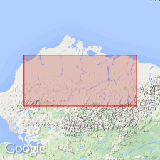
Summary:
Named as lower of 2 major tongues of nonmarine Chandler formation (new) of Nanushuk group. Type locality designated as Hatbox Mesa in Chandler River drainage in Northern Foothills, northern AK. Is approximately 3000 ft thick and wedges out northward. Overlies and interfingers with Tuktu member (new) and underlies and interfingers with Topagoruk member (new) both of marine Umiat formation (new) of Nanushuk group. Age given as Early Cretaceous and Early(?) Cretaceous.
Source: GNU records (USGS DDS-6; Menlo GNULEX).
- Usage in publication:
-
- Hatbox tongue†
- Modifications:
-
- Abandoned
- AAPG geologic province:
-
- Alaska Northern region
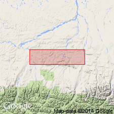
Summary:
Renamed Killik tongue (new) of Chandler formation. Type locality changed because sequence is better exposed along Killik River than at Hatbox Mesa.
Source: GNU records (USGS DDS-6; Menlo GNULEX).
For more information, please contact Nancy Stamm, Geologic Names Committee Secretary.
Asterisk (*) indicates published by U.S. Geological Survey authors.
"No current usage" (†) implies that a name has been abandoned or has fallen into disuse. Former usage and, if known, replacement name given in parentheses ( ).
Slash (/) indicates name conflicts with nomenclatural guidelines (CSN, 1933; ACSN, 1961, 1970; NACSN, 1983, 2005, 2021). May be explained within brackets ([ ]).