- Usage in publication:
-
- Harpers shale*
- Modifications:
-
- Named
- Dominant lithology:
-
- Shale
- AAPG geologic province:
-
- Piedmont-Blue Ridge province
Summary:
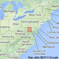
Harpers shale is so-called for its excellent exposures at Harpers Ferry, WV, along the gorge of the Potomac. Outcrops are confined almost exclusively to the Blue Ridge belt where they extend almost its entire length and vary little. Unit consists of argillaceous and sandy, dull bluish gray shales which weather light, dirty, greenish gray. Forms low foothills and rolling slopes. No measure of thickness of any value obtained at type locality as author calls it a "hopeless tangle." A partial section in Monterey, PA, measures 500 ft. Probably ranges to 1200 ft, allowing for unrepresented portions. Along east side of Catoctin Mountain, series of phyllites and sandy schists above the Weverton sandstone, may correlate with Harpers shale. Underlies Antietam sandstone. Age is Early Cambrian.
Source: GNU records (USGS DDS-6; Reston GNULEX).

- Usage in publication:
-
- Harpers Formation
- Modifications:
-
- Overview
- AAPG geologic province:
-
- Piedmont-Blue Ridge province
Summary:
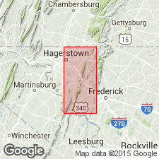
The Montalto Member of the Harpers Formation in PA is recognized in the lower part of the Formation in MD near the MD-PA state line and as tongues of sandstone in the predominant metasiltstone of the Formation.
Source: GNU records (USGS DDS-6; Reston GNULEX).

- Usage in publication:
-
- Harpers Formation*
- Modifications:
-
- Overview
- AAPG geologic province:
-
- Piedmont-Blue Ridge province
Summary:
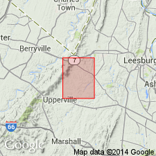
The Harpers Formation is predominantly a dark-greenish-gray to brownish-gray, very fine-grained, laminated to massively bedded, phyllitic metasiltstone. The base of the unit is locally sharp, but is transitional with the underlying quartz-pebble conglomeratic quartzite of the upper member of the Weverton Formation. The metasiltstone is highly cleaved and bedding is obscure. Thickness of the Harpers in the mapped area is 732 meters. The Harpers Formation overlies the Weverton Formation and underlies the Antietam Quartzite. The unit is of Early Cambrian age.
Source: GNU records (USGS DDS-6; Reston GNULEX).
For more information, please contact Nancy Stamm, Geologic Names Committee Secretary.
Asterisk (*) indicates published by U.S. Geological Survey authors.
"No current usage" (†) implies that a name has been abandoned or has fallen into disuse. Former usage and, if known, replacement name given in parentheses ( ).
Slash (/) indicates name conflicts with nomenclatural guidelines (CSN, 1933; ACSN, 1961, 1970; NACSN, 1983, 2005, 2021). May be explained within brackets ([ ]).

