

- Usage in publication:
-
- Hargett sandstone
- Modifications:
-
- First used
- Dominant lithology:
-
- Sandstone
- AAPG geologic province:
-
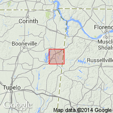
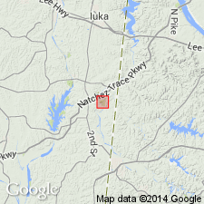
- Black Warrior basin
Summary:
Hargett sandstone of Alsobrook formation (Chester group) is shown in table on p. 9 as underlying Cripple Deer sandstone of Alsobrook formation, and overlying limestone forming basal part of Alsobrook formation in Tishomingo Co. The columnar section on p. 10 shows 1 ft of sandstone in middle of Alsobrook formation. Intent to name not stated. Derivation of name not stated.
Source: GNU records (USGS DDS-6; Reston GNULEX).
- Usage in publication:
-
- Hargett sandstone member
- Modifications:
-
- Overview
- AAPG geologic province:
-
- Black Warrior basin
Summary:
Unit listed as middle member of Alsobrook formation. Overlies unnamed limestone; underlies Cripple Deer sandstone or shale member. Age is Mississippian (Chesterian).
Source: GNU records (USGS DDS-6; Reston GNULEX).
For more information, please contact Nancy Stamm, Geologic Names Committee Secretary.
Asterisk (*) indicates published by U.S. Geological Survey authors.
"No current usage" (†) implies that a name has been abandoned or has fallen into disuse. Former usage and, if known, replacement name given in parentheses ( ).
Slash (/) indicates name conflicts with nomenclatural guidelines (CSN, 1933; ACSN, 1961, 1970; NACSN, 1983, 2005, 2021). May be explained within brackets ([ ]).