- Usage in publication:
-
- Hardwick gneiss
- Hardwick gneissoid granite and granitite
- Hardwick granite-gneiss
- Hardwick granite*
- Modifications:
-
- Original reference
- Dominant lithology:
-
- Granite
- Gneiss
- AAPG geologic province:
-
- New England province
Summary:
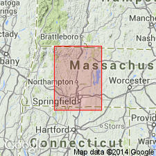
Pg. 239-241, 317-318, pl. 34. Hardwick gneiss (p. 239-241); Hardwick gneissoid granite and granitite and Hardwick granite-gneiss (p. 317-318); Hardwick granite (on map, where it is described as dark thick-bedded biotite gneiss). (Hardwick granite adopted by the USGS.) Present in central Massachusetts and southwestern New Hampshire. Age is Late Carboniferous or post-Carboniferous. [See also Emerson, USGS Bull. 597, p. 238-239, 1917, where it is described, on map, as black biotite granite around Fitzwilliam granite, and is shown as extending northward into New Hampshire.]
Named from occurrence at and around Hardwick, Worcester Co., MA.
Source: US geologic names lexicon (USGS Bull. 896, p. 910).

- Usage in publication:
-
- Hardwick Tonalite*
- Modifications:
-
- Overview
- AAPG geologic province:
-
- New England province
Summary:
Used as Hardwick Tonalite. Age is Early Devonian. Intrudes Lower Devonian Littleton Formation. [No explanation for change in rank term.]
Source: GNU records (USGS DDS-6; Reston GNULEX).

- Usage in publication:
-
- Hardwick Tonalite*
- Modifications:
-
- Overview
- AAPG geologic province:
-
- New England province
Summary:
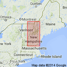
Used as Hardwick Tonalite of New Hampshire Plutonic Suite on 1:500,000-scale derivative map showing plutons. Not separately mapped on 1:250,000-scale geologic map. Report also includes cross sections, correlation chart, and four 1:500,000-scale derivative maps.
Source: GNU records (USGS DDS-6; Reston GNULEX).
For more information, please contact Nancy Stamm, Geologic Names Committee Secretary.
Asterisk (*) indicates published by U.S. Geological Survey authors.
"No current usage" (†) implies that a name has been abandoned or has fallen into disuse. Former usage and, if known, replacement name given in parentheses ( ).
Slash (/) indicates name conflicts with nomenclatural guidelines (CSN, 1933; ACSN, 1961, 1970; NACSN, 1983, 2005, 2021). May be explained within brackets ([ ]).

