

- Usage in publication:
-
- Hardin sandstone
- Modifications:
-
- Named
- Dominant lithology:
-
- Sandstone
- AAPG geologic province:
-
- Upper Mississippi embayment
Summary:
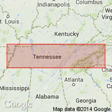
Hardin sandstone named for Hardin Co., southwestern TN. Consists of dark fine-grained bituminous sandstone, weathering gray or grayish yellow; more or less phosphatic. Chiefly interesting because of close association with Swan Creek phosphate, the latter often becoming this sandstone. Thickness 12 or 15 ft. Overlies Camden chert and underlies Swan Creek phosphate. Age is Late Devonian or Mississippian. [Because of thinness and gradation into overlying shale, unit is treated as a member of Chattanooga shale by the USGS. Unconformably overlies Pegram limestone in some areas.]
Source: GNU records (USGS DDS-6; Reston GNULEX).
- Usage in publication:
-
- Hardin sandstone member
- Modifications:
-
- Revised
- AAPG geologic province:
-
- Upper Mississippi embayment
Summary:
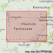
Haradin sandstone assigned as basal member to Dowelltown formation (new). Described as fine-grained gray to black sandstone that weathers yellow or brown. Reaches a maximum thickness of 16 ft in vicinity of Olive Hill and from there thins in all directions. Thickness is 2 ft at Iron City, southwest Lawrence Co.; 1 to 3 ft in southern Hardin Co.; 1.5 to 3 ft along Tennessee River; 7 to 10 ft northward from Olive Hill to near Wayne-Perry Co. line and eastward to Forty Eight Creek. Where the Hardin has been certainly identified, a conglomeratic base has never been mentioned.
Source: GNU records (USGS DDS-6; Reston GNULEX).
- Usage in publication:
-
- Hardin sandstone member*
- Modifications:
-
- Age modified
- Areal extent
- Overview
- AAPG geologic province:
-
- Upper Mississippi embayment
Summary:
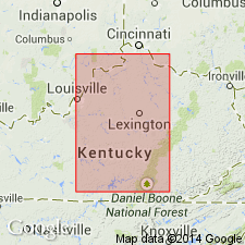
Basal member of Chattanooga shale. Underlies Dowelltown member. As much as 16 ft thick and consists chiefly of siliceous fine-grained sand and silt. Restricted to vicinity of Wayne, Perry, Lawrence, and Hardin Cos., TN, and adjoining part of AL. Well exposed along secondary road by stone church, 0.15 mi south of U.S. Hwy 64 at Olive Hill, Hardin Co. Age is early Late Devonian although some part may be slightly older. Ulrich and Bassler (1926: U.S. National Museum Proceedings, v. 68, art. 12) considered Hardin to be widespread deposit of Mississippian age. They described conodonts collected from sandstone at Mount Pleasant, TN, and identified bed as Hardin sandstone. Believed now that sandstone bed from which Ulrich and Bassler's (1926) conodont fauna came is neither same age as Hardin sandstone member of present report nor of early Mississippian age.
Source: GNU records (USGS DDS-6; Reston GNULEX).
For more information, please contact Nancy Stamm, Geologic Names Committee Secretary.
Asterisk (*) indicates published by U.S. Geological Survey authors.
"No current usage" (†) implies that a name has been abandoned or has fallen into disuse. Former usage and, if known, replacement name given in parentheses ( ).
Slash (/) indicates name conflicts with nomenclatural guidelines (CSN, 1933; ACSN, 1961, 1970; NACSN, 1983, 2005, 2021). May be explained within brackets ([ ]).