- Usage in publication:
-
- Hanson Creek formation
- Modifications:
-
- Named
- Dominant lithology:
-
- Limestone
- AAPG geologic province:
-
- Great Basin province
Summary:
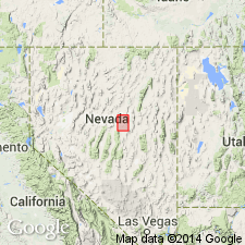
Probably named for Pete Hanson Creek within Roberts Mountain quad, Eureka Co, NV, Great Basin province. "Typical" exposures occur on west side of Roberts Creek Mountain striking south and southwest across north fork of Pete Hanson Creek and cut off by a major fault at southern margin of Cooper Peak. Occurs in northern part of Roberts Mountains. Rocks were formerly assigned to lowermost part of Lone Mountain limestone (revised) by Hague (1892, USGS Mon. 20). Lower 40 ft consists of dark-gray to blackish, medium-grained, poorly stratified dolomitic limestone with scattered small crinoid stems and irregular calcite veins; grades upward to 45 ft of very fine-textured, poorly bedded, medium-to dark-gray limestone, with calcite veinlets and small black chert nodules; overlying 140 ft is thin-bedded, slabby and shaly limestone, dark bluish gray (fresh) or very light gray (weathered), very fossiliferous; succeeding 140 ft poorly bedded dark-gray limestone; uppermost 180 ft is limestone, massive, very dark gray, and fine-grained. Fossils include Illaenidae, CRYPTOLITHUS sp., corals, and cephalopods; fragmentary shells of RAFINESQUINA or STROPHOMENA and COLUMNARIA? Overlies Eureka quartzite (revised); underlies Roberts Mountains formation (new). Reconnaissance geologic map (plate 1). Assigned Middle and Late Ordovician age.
Source: GNU records (USGS DDS-6; Denver GNULEX).

- Usage in publication:
-
- Hanson Creek Formation*
- Modifications:
-
- Mapped
- AAPG geologic province:
-
- Idaho Mountains province
Summary:
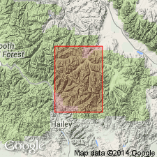
Mapped in northeastern part of study area, Custer Co, ID, Idaho Mountains province. Small outcrop within Wildhorse window. Consists of cliff-forming, dark-gray, light-gray-weathering, thin-bedded to massive dolomite, containing black chert nodules and stringers mainly in upper part; some interbeds finely laminated. Base not exposed; minimum measured thickness is 64 m. Oldest unit within Wildhorse window; conformably underlies Roberts Mountains Formation. Assigned Middle and Late Ordovician age based on graptolites.
Source: GNU records (USGS DDS-6; Denver GNULEX).
For more information, please contact Nancy Stamm, Geologic Names Committee Secretary.
Asterisk (*) indicates published by U.S. Geological Survey authors.
"No current usage" (†) implies that a name has been abandoned or has fallen into disuse. Former usage and, if known, replacement name given in parentheses ( ).
Slash (/) indicates name conflicts with nomenclatural guidelines (CSN, 1933; ACSN, 1961, 1970; NACSN, 1983, 2005, 2021). May be explained within brackets ([ ]).

