

- Usage in publication:
-
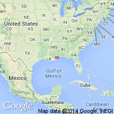
- Hancock Formation
- Modifications:
-
- Named
- Dominant lithology:
-
- Sand
- Shale
- AAPG geologic province:
-
- Mid-Gulf Coast basin
Summary:
Name Hancock Formation is proposed in this report for a predominantly siliciclastic sequence overlying the HETERPSTEGINA zone (Tatum Limestone) and underlying the Pensacola Formation in several wells in southern Hancock Co., south-central MS. No thickness given. The Hancock represents uninterrupted neritic sedimentation in the coastal and offshore areas during the late and middle Miocene, while Zones N4b to N8 are missing onshore due to a major regression. Unit correlates with the Tampa Formation of FL as described by Marsh (1966) and is characterized by concentrations of UVIGERINA sp.
Source: GNU records (USGS DDS-6; Reston GNULEX).
For more information, please contact Nancy Stamm, Geologic Names Committee Secretary.
Asterisk (*) indicates published by U.S. Geological Survey authors.
"No current usage" (†) implies that a name has been abandoned or has fallen into disuse. Former usage and, if known, replacement name given in parentheses ( ).
Slash (/) indicates name conflicts with nomenclatural guidelines (CSN, 1933; ACSN, 1961, 1970; NACSN, 1983, 2005, 2021). May be explained within brackets ([ ]).