The National Geologic Map Database is migrating to a new infrastructure. We apologize for any service disruptions during this process.
|
|---|


- Usage in publication:
-
- Hampton shale*
- Modifications:
-
- Named
- Dominant lithology:
-
- Shale
- AAPG geologic province:
-
- Piedmont-Blue Ridge province
Summary:
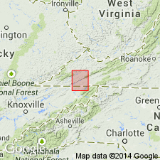
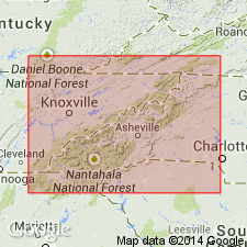
Named the Hampton shale in eastern TN, western NC, and southwestern VA for Hampton, Carter Co., TN. Consists of sandy shale which has a thickness of about 600 feet. Unit forms front of Holston Mountain. Overlies the Unicoi sandstone and underlies an unnamed sandstone [Erwin]. The Hampton is of Early Cambrian age.
Source: GNU records (USGS DDS-6; Reston GNULEX).
- Usage in publication:
-
- Hampton Formation
- Modifications:
-
- Biostratigraphic dating
- AAPG geologic province:
-
- Appalachian basin
Summary:
Age constraints for the Vendian to Placentian Chilhowee Group are provided by, 1) the occurrence of Vendian acritarchs in the subjacent Sandsuck, Wilhite, and Shields Formations; 2) the first occurrence of PALAEOPHYCUS traces in the basal Cochran and Unicoi Formations; 3) the first occurrences of SKOLOTHOS and PLANOLITES traces in the overlying Nichols and Hampton Formations; 4) the abundance of well-developed arthropod as well as other diagnostic traces in the uppermost Nebo and overlying Murray Formations; 5) the recalculated age of 539ñ30 Ma for the Murray Formation; and 6) reported occurrences of late Placentian or younger body fossils recovered from the Murray Shale, including trilobites, ostracodes, inarticulate brachiopods, hylithoids, and acritarchs. The sequence in the Cochran-Unicoi interval where the Precambrian-Cambrian boundary is interpreted to occur consists of coarse-grained braided-fluvial sediments. It may prove impossible to locate the boundary precisely because of a lack of marine facies, and the shelly microfossils it might have provided.
Source: GNU records (USGS DDS-6; Reston GNULEX).
For more information, please contact Nancy Stamm, Geologic Names Committee Secretary.
Asterisk (*) indicates published by U.S. Geological Survey authors.
"No current usage" (†) implies that a name has been abandoned or has fallen into disuse. Former usage and, if known, replacement name given in parentheses ( ).
Slash (/) indicates name conflicts with nomenclatural guidelines (CSN, 1933; ACSN, 1961, 1970; NACSN, 1983, 2005, 2021). May be explained within brackets ([ ]).