

- Usage in publication:
-
- Halls diorite porphyry
- Modifications:
-
- Original reference
- Dominant lithology:
-
- Porphyry
- AAPG geologic province:
-
- Western Columbia basin
Summary:
Pg. 10. Halls diorite porphyry. Varies from fine-grained purple-gray porphyry at the contact to a medium-grained almost white porphyry containing hornblende and plagioclase phenocrysts. Intrudes Sardine lavas. Age is middle or upper Miocene.
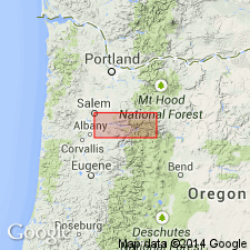
Exposed in a roughly rectangular area of about 1 sq mi in North Santiam River gorge; southeastern contact is approx. 1,000 ft east of Halls siding, Marion Co., northwestern OR.
Source: US geologic names lexicon (USGS Bull. 1200, p. 1650).
For more information, please contact Nancy Stamm, Geologic Names Committee Secretary.
Asterisk (*) indicates published by U.S. Geological Survey authors.
"No current usage" (†) implies that a name has been abandoned or has fallen into disuse. Former usage and, if known, replacement name given in parentheses ( ).
Slash (/) indicates name conflicts with nomenclatural guidelines (CSN, 1933; ACSN, 1961, 1970; NACSN, 1983, 2005, 2021). May be explained within brackets ([ ]).