The National Geologic Map Database is migrating to a new infrastructure. We apologize for any service disruptions during this process.
|
|---|


- Usage in publication:
-
- Hall Lake member
- Modifications:
-
- Named
- Dominant lithology:
-
- Conglomerate
- Shale
- Sandstone
- Limestone
- AAPG geologic province:
-
- Orogrande basin
Summary:
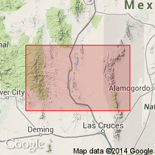
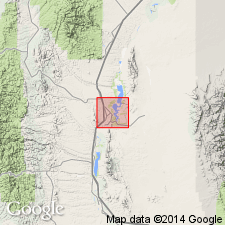
Named upper member of McRae formation for Hall Lake, lake backed up by Elephant Butte dam, Sierra Co, NM, Orogrande basin. Type locality on east shore of lake, northeast of Elephant Butte, south of McRae Canyon. Conformably overlies Jose Creek member (new) of McRae formation; contact at base lenticular conglomerate bed of cobbles, boulders of gneiss, quartzite, granite in white easily weathered matrix or where conglomerate missing, at base first thick purple or maroon shale. Crops out widely McRae Canyon area, in Jornada del Muerto, along shore of reservoir south of Fra Cristobal Mountains. Exposures Jornada del Muerto generally poor. Only good outcrops found in railroad cuts or in small arroyo channels. Next younger unit in area Quaternary valley fill and gravel. Maroon and chocolate-brown shales dominant lithology. Purple, maroon, olive, buff, gray, thin- to thick-bedded, medium- to coarse-grained, subangular predominantly quartz but some feldspar and hematite sandstone, few purple conglomerates, occasional nodular limestones present between the shale. Conglomerates in upper part usually as thin lenses of cobbles and pebbles of intermediate volcanic rocks, some of purple mudstone, gneiss or granite, and limestone. Plant roots, TRICERATOPS fragments. [Lithologic sequence within member not given.] At least 2,900+/-ft thick. Lower part Late Cretaceous; upper part may be Tertiary. Cross section, stratigraphic table. Continental origin.
Source: GNU records (USGS DDS-6; Denver GNULEX).
- Usage in publication:
-
- Hall Lake Member
- Modifications:
-
- Overview
- AAPG geologic province:
-
- Orogrande basin
Summary:
Mapped (geologic map) as the upper member of the McRae Formation in the east part of the area, Sierra Co, NM in the Orogrande basin. Conformably overlies Jose Creek Member of McRae. Estimated at 884 m thick. Forms valleys. Locally, has a basal conglomerate of quartzite, gneiss, and granite cobbles that may be as much as 3 m thick. Overlying part of Hall Lake are the alternating green to purple, lenticular, medium- to coarse-grained sandstone; purple, maroon, and brown shale; and scattered 30-90 cm thick conglomerate beds which are made up of volcanic clasts. Cretaceous age. Ceratopsian dinosaur remains.
Source: GNU records (USGS DDS-6; Denver GNULEX).
For more information, please contact Nancy Stamm, Geologic Names Committee Secretary.
Asterisk (*) indicates published by U.S. Geological Survey authors.
"No current usage" (†) implies that a name has been abandoned or has fallen into disuse. Former usage and, if known, replacement name given in parentheses ( ).
Slash (/) indicates name conflicts with nomenclatural guidelines (CSN, 1933; ACSN, 1961, 1970; NACSN, 1983, 2005, 2021). May be explained within brackets ([ ]).