- Usage in publication:
-
- Halfpint Member*
- Modifications:
-
- Named
- Dominant lithology:
-
- Limestone
- AAPG geologic province:
-
- Great Basin Province
Summary:
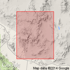
Pg. A49-A52. Halfpint Member, middle member of Nopah Formation (geographically extended into Nevada Test Site). Consists of 715 feet of flaggy-splitting very thin-bedded medium-gray limestone with partings of silty limestone or shale and common thin layers of chert. Underlies Smoky Member. Overlies Dunderberg Shale Member. The flaggy-splitting limestone above the Dunderberg at Eureka was assigned to the Catlin Member of the Windfall by Barnes and Byers (1961, USGS Prof. Paper 424-C). This is the flaggy limestone herein named Halfpint Member. Age is Late Cambrian
Type section: measured by Barnes and Byers on Teapot Ridge in Halfpint Range, [Nevada Test Site, Nye Co.], southern NV. Named from Halfpint Range.
Source: US geologic names lexicon (USGS Bull. 1350, p. 314); supplemental information from GNC index card files (USGS-Menlo).
For more information, please contact Nancy Stamm, Geologic Names Committee Secretary.
Asterisk (*) indicates published by U.S. Geological Survey authors.
"No current usage" (†) implies that a name has been abandoned or has fallen into disuse. Former usage and, if known, replacement name given in parentheses ( ).
Slash (/) indicates name conflicts with nomenclatural guidelines (CSN, 1933; ACSN, 1961, 1970; NACSN, 1983, 2005, 2021). May be explained within brackets ([ ]).

