The National Geologic Map Database is migrating to a new infrastructure. We apologize for any service disruptions during this process.
|
|---|


- Usage in publication:
-
- Gunnison formation*
- Modifications:
-
- Original reference
- Dominant lithology:
-
- Quartzite
- Shale
- Limestone
- Clay
- Marl
- AAPG geologic province:
-
- Piceance basin
Summary:
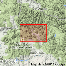
[Credited to G.H. Eldridge, "Description of the sedimentary formations" section.] Gunnison formation. Quartzites and shales with a little limestone; at base heavy white quartzite 50 to 100 feet thick, usually in a single bed; above it, in some cases succeeded by other sandstone layers, is a blue fossiliferous limestone; remainder of formation consists of gray, drab, pink, and purple clays and marls, through which run thin intermittent beds of drab limestone. Thickness 300 to 450 feet. Assignment to late Juratrias is based upon its stratigraphic and lithologic correspondence with ATLANTOSAURUS beds on east flanks of Rocky Mountains and upon similarity of its molluscan fauna to that of those beds, although in this more western region no vertebrate remains have yet been discovered in it. Rests unconformably on eroded Maroon conglomerates or on older formations. Underlies Dakota formation. [Age is Late Jurassic.]
[Named from exposures in canyon of Gunnison River, Delta and Mesa Cos., central western CO.]
Source: US geologic names lexicon (USGS Bull. 896, p. 889).
- Usage in publication:
-
- Gunnison shale*
- Modifications:
-
- Revised
- AAPG geologic province:
-
- Piceance basin
Summary:
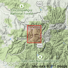
Pg. 758-764; [credited to Purington]. Gunnison shale. Upper member of Jura; consists of 700 feet of gray shattered siliceous shales with interbedded layers of friable light-colored sandstone. Overlies La Plata sandstone and underlies Dakota sandstone in Telluride quadrangle, central western Colorado.
Source: US geologic names lexicon (USGS Bull. 896, p. 889).
- Usage in publication:
-
- Gunnison formation*
- Modifications:
-
- Revised
- AAPG geologic province:
-
- Piceance basin
Summary:
[Credited to Whitman Cross.] Lower member of Gunnison formation is here named La Plata sandstone and upper member is named McElmo formation. Latter is same as Gunnison formation restricted of Purington. Thickness 600 to 900 feet. [Age is Late Jurassic.]
Source: US geologic names lexicon (USGS Bull. 896, p. 889).

- Usage in publication:
-
- Gunnison formation†
- Modifications:
-
- Abandoned
- AAPG geologic province:
-
- Piceance basin
Summary:
†Gunnison formation abandoned. According to A.A. Baker, C.H. Dane, and J.B. Reeside, Jr. (USGS Prof. Paper 183, 1936), the Gunnison formation of Cross is same as Morrison formation.
Source: US geologic names lexicon (USGS Bull. 896, p. 889).
For more information, please contact Nancy Stamm, Geologic Names Committee Secretary.
Asterisk (*) indicates published by U.S. Geological Survey authors.
"No current usage" (†) implies that a name has been abandoned or has fallen into disuse. Former usage and, if known, replacement name given in parentheses ( ).
Slash (/) indicates name conflicts with nomenclatural guidelines (CSN, 1933; ACSN, 1961, 1970; NACSN, 1983, 2005, 2021). May be explained within brackets ([ ]).