The National Geologic Map Database is migrating to a new infrastructure. We apologize for any service disruptions during this process.
|
|---|


- Usage in publication:
-
- Grosvenor Hills Volcanics*
- Modifications:
-
- Named
- Dominant lithology:
-
- Gravel
- Rhyolite
- Rhyodacite
- AAPG geologic province:
-
- Basin-and-Range province
Summary:
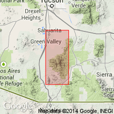
Named. Exposed on southwest flank of Santa Rita Mountains and in Grosvenor Hills. Type area in basins of the uppermost parts of Coal Mine and Cinigita Canyons of Grosvenor Hills, Mount Wrightson quad, Santa Cruz Co, AZ. Contains a basal gravel and silt member, a rhyolite member, and a rhyodacite member. The basal beds are very lenticular, rarely more than 100 ft thick, and composed of poorly consolidated pale-red silt containing stringers of well-rounded small pebbles. The rhyolite member is a complex of several vitrophyre flows, agglomerate sheets, welded and nonwelded. About 2,000 ft thick. Lies unconformably on Cretaceous and older rocks and is unconformably overlain by the gravels of Nogales. Is intruded by roughly coeval rhyodacite that has been dated by K-Ar method as 26.0 and 27.3 Ma. Is assigned a late? Oligocene age. Fossil pine pollen identified.
Source: GNU records (USGS DDS-6; Denver GNULEX).
- Usage in publication:
-
- Grosvenor Hills Volcanics*
- Modifications:
-
- Overview
- Geochronologic dating
- AAPG geologic province:
-
- Basin-and-Range province
Summary:
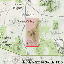
Consists of rhyolite and rhyodacite lava about 2,000 ft thick. Geologic map of Grosvenor Hills and San Cayetano Mountains shows the formation and its members (lower gravel and silt member, middle rhyolite member, and upper rhyodacite member). Formation underlies an area of 20 sq mi chiefly in the Grosvenor Hills and extends south beyond Mount Wrightson and across Sonorita Creek in the Basin-and-Range province. Lies unconformably on Jurassic and Cretaceous plutonic and volcanic rocks. Is unconformably overlain by Miocene and Pliocene gravel. Intruded by dikes and by five laccoliths. Modal and chemical analyses. Has four radiometric ages (K-Ar method) of 27 m.y. or late Oligocene. Date obtained by Pb-alpha method is 40 m.y., a typical Pb-alpha age for rocks 25 to 30 m.y. old. Ages obtained from plant fossils suggest Miocene, and from pollen of Late Cretaceous or Cenozoic. Radiometric ages considered more reliable. Considered to be of Oligocene age.
Source: GNU records (USGS DDS-6; Denver GNULEX).
For more information, please contact Nancy Stamm, Geologic Names Committee Secretary.
Asterisk (*) indicates published by U.S. Geological Survey authors.
"No current usage" (†) implies that a name has been abandoned or has fallen into disuse. Former usage and, if known, replacement name given in parentheses ( ).
Slash (/) indicates name conflicts with nomenclatural guidelines (CSN, 1933; ACSN, 1961, 1970; NACSN, 1983, 2005, 2021). May be explained within brackets ([ ]).