

- Usage in publication:
-
- Griffins Landing Sand Member
- Modifications:
-
- Named
- Dominant lithology:
-
- Sand
- AAPG geologic province:
-
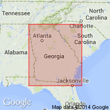
- South Georgia sedimentary province
Summary:
Griffins Landing Sand Member of Dry Branch Formation here named in Burke Co., GA. Consists of massive to rudely bedded, fossiliferous, calcareous sand with limestone and shell beds and clay lenses. 19.1 m thick at type. Overlies Clinchfield Formation. Interfingers with Twiggs Clay Member and Irwinton Sand Member, both of Dry Branch. Underlies Tobacco Road Sand. Dry Branch and Tobacco Road Sand assigned to Barnwell Group (rank raised). [Though unit was actually formally named in a later (1985) publication, it was annotated from this Open-File and included in Bulletin 1564 (Lexicon).
Source: GNU records (USGS DDS-6; Reston GNULEX).
- Usage in publication:
-
- Griffins Landing Member
- Modifications:
-
- Overview
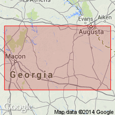
- Areal extent
- AAPG geologic province:
-
- South Georgia sedimentary province
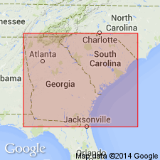
- Atlantic Coast basin
Summary:
Unit is actually formally named in this paper though it was annotated from a 1979 Open-File for the Lexicon. It is the thickest member of the Dry Branch Formation and constitutes a greater proportion of the formation downdip. It thins and is restricted to lower part of Dry Branch updip. Unit is restricted to area east of Ogeechee River. Eastern limit is unknown, but it may extend into SC where characteristic lithologies have been reported. Overlies Utley Limestone Member of Clinchfield Formation.
Source: GNU records (USGS DDS-6; Reston GNULEX).
- Usage in publication:
-
- Griffins Landing Member
- Modifications:
-
- Areal extent
- Revised
- AAPG geologic province:
-
- Atlantic Coast basin
- South Georgia sedimentary province
Summary:
Unit is geographically extended into SC where it has been recognized in two auger holes in Seivern quad, Aiken Co. Unit has previously been known only in eastern GA. Unit is stratigraphically extended to include a sandy biomicrudite found in these auger holes. Fauna support a late Eocene age and reflect subtidal to inner shelf depositional environment. Underlies unnamed clayey sands of Dry Branch Formation and overlies Huber Formation (Paleocene to middle Eocene).
Source: GNU records (USGS DDS-6; Reston GNULEX).
For more information, please contact Nancy Stamm, Geologic Names Committee Secretary.
Asterisk (*) indicates published by U.S. Geological Survey authors.
"No current usage" (†) implies that a name has been abandoned or has fallen into disuse. Former usage and, if known, replacement name given in parentheses ( ).
Slash (/) indicates name conflicts with nomenclatural guidelines (CSN, 1933; ACSN, 1961, 1970; NACSN, 1983, 2005, 2021). May be explained within brackets ([ ]).