

- Usage in publication:
-
- Grenloch Sand Member
- Modifications:
-
- Named
- Dominant lithology:
-
- Sand
- AAPG geologic province:
-
- Atlantic Coast basin
Summary:
(See also Isphording and Lodding, 1968, Clays and Clay Minerals, v. 16, no. 3.) Grenloch Sand Member of Kirkwood Formation. Yellow and pink silty sands; lignitic at base. Thickness 15 m. Overlies, intertongues with, and grades laterally into Alloway Clay and Asbury Park Members of Kirkwood; underlies Cohansey Sand. Age is middle Miocene.
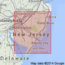
Type area: exposures in vicinity of Grenloch and Blackwood, Gloucester and Camden Cos., west-central NJ.
Source: US geologic names lexicon (USGS Bull. 1520, p. 124-125); supplemental information from GNU records (USGS DDS-6; Reston GNULEX).
For more information, please contact Nancy Stamm, Geologic Names Committee Secretary.
Asterisk (*) indicates published by U.S. Geological Survey authors.
"No current usage" (†) implies that a name has been abandoned or has fallen into disuse. Former usage and, if known, replacement name given in parentheses ( ).
Slash (/) indicates name conflicts with nomenclatural guidelines (CSN, 1933; ACSN, 1961, 1970; NACSN, 1983, 2005, 2021). May be explained within brackets ([ ]).