

- Usage in publication:
-
- Greenwood Iron-Formation Member*
- Modifications:
-
- Overview
- AAPG geologic province:
-
- Lake Superior region
Summary:
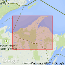
Pg. 2845 (fig. 2, stratigraphic chart compiled from Leith and others, 1935; James, 1958; Gair and Thaden, 1968). Greenwood Iron-Formation Member of Michigamme Slate of Baraga Group of Marquette Range Supergroup (new; replaces †Animikie series of James, 1958, south of Lake Superior, in Michigan and Wisconsin). Present in Marquette Range, northwestern Michigan. Overlies Goodrich Quartzite of Baraga Group; underlies Clarksburg Volcanics Member of Michigamme Slate. Age is middle Precambrian.
Source: Publication.
- Usage in publication:
-
- Greenwood Iron-formation Member*
- Modifications:
-
- Overview
- AAPG geologic province:
-
- Lake Superior region
Summary:
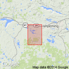
Is mapped as unit in lower part of Michigamme Formation in Baraga Group in Marquette Range Supergroup, Marquette Co, MI (Lake Superior region). Map unit described as gray-green to buff, laminated, silicate-magnetite iron-formation with beds of argillaceous clastic rocks. Exposed only on south limb of synclinorium but a lens may be present on north limb as indicated by ground magnetic survey. Well laminated in layers as much as 1 in. thick. Chert layers rare. Units of higher iron content closely resemble Negaunee Iron-formation north of Lake Lory, principal difference being general lack of chert beds and ubiquitous presence of clastic material. Clastic material shown by dark-green layers rich in hornblende, biotite, chlorite which are interlayered with light-brown grunerite-magnetite beds. Chemical analyses show high values of Al, Na, K, and Ca, all probably due to clastic or pyroclastic additions. Iron content lower than typical iron-formation, much iron contained in silicate minerals, mostly grunerite, with grains of 0.1-0.2 mm. Magnetite occurs throughout but generally in subeconomic amounts; grain size is 0.1-0.01 mm; Davis magnetic-tube test of four representative samples showed recoverable magnetite in -500 mesh material to be 1.56-12.28 percent. Thickness on south limb 500-1200 ft. Passes abruptly upward into Clarksburg Volcanics Member and grades downward into iron-rich argillite in upper part of lower argillite member. Precambrian X.
Source: GNU records (USGS DDS-6; Reston GNULEX).
For more information, please contact Nancy Stamm, Geologic Names Committee Secretary.
Asterisk (*) indicates published by U.S. Geological Survey authors.
"No current usage" (†) implies that a name has been abandoned or has fallen into disuse. Former usage and, if known, replacement name given in parentheses ( ).
Slash (/) indicates name conflicts with nomenclatural guidelines (CSN, 1933; ACSN, 1961, 1970; NACSN, 1983, 2005, 2021). May be explained within brackets ([ ]).