The National Geologic Map Database is migrating to a new infrastructure. We apologize for any service disruptions during this process.
|
|---|


- Usage in publication:
-
- Greenland Gap Group
- Modifications:
-
- Named
- Dominant lithology:
-
- Sandstone
- Siltstone
- Shale
- AAPG geologic province:
-
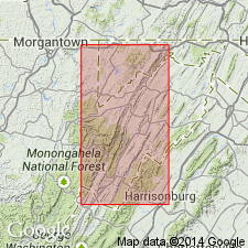
- Appalachian basin
Summary:
Greenland Gap Group here proposed to replace Chemung Formation, which has been abandoned in its type locality (NY), and is therefore no longer considered a valid stratigraphic name. This sedimentary unit divided into ascending newly named Scherr and Foreknobs Formations. Foreknobs further divided into basal Mallow Member, Briery Gap Sandstone Member, Blizzard Member, Pound Sandstone Member, and an unnamed siltstone and sandstone member. Group measures 2325 ft (708 m) at type section in Grant Co. near Greenland Gap and ranges to 3885 ft (1180 m). Underlies Hampshire Formation and overlies Brallier Formation. Age is Late Devonian.
Source: GNU records (USGS DDS-6; Reston GNULEX).
- Usage in publication:
-
- Greenland Gap Formation
- Modifications:
-
- Revised
- Areal extent
- AAPG geologic province:
-
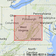
- Appalachian basin
Summary:
Greenland Gap is extended west of the Allegheny Front where it is present in the subsurface. Foreknobs and Scherr Formations are not recognized in study area, hence unit is reduced to formation rank. Use of Greenland Gap Formation replaces term "Chemung" for thick marine shale, siltstone, and sandstone lithosome. Unit is highly time-transgressive, the base rising approximately 420 m across West Virginia. In Preston Co., unit includes (ascending) Pound and Red Lick Members, "Bradford," "Balltown," and "Speechley" intervals (drillers' terms), in Harrison Co., "Bradford" is basal unit, while "Warren," "Bayard," and "Fifth" occur above "Speechley"; in Tyler Co., WV, and eastern OH "Warren" is basal unit while upper part is undivided. Upper contacts vary. Underlies Berea Ss (Tyler Co.), Venango Formation (Harrison Co.) and newly named Cannon Hill Formation of Hampshire Group (rank raised) (Preston Co.); everywhere overlies Brallier Formation, which includes strata much younger than previously thought.
Source: GNU records (USGS DDS-6; Reston GNULEX).
For more information, please contact Nancy Stamm, Geologic Names Committee Secretary.
Asterisk (*) indicates published by U.S. Geological Survey authors.
"No current usage" (†) implies that a name has been abandoned or has fallen into disuse. Former usage and, if known, replacement name given in parentheses ( ).
Slash (/) indicates name conflicts with nomenclatural guidelines (CSN, 1933; ACSN, 1961, 1970; NACSN, 1983, 2005, 2021). May be explained within brackets ([ ]).