

- Usage in publication:
-
- Greenback Member
- Modifications:
-
- Named
- Dominant lithology:
-
- Silt
- AAPG geologic province:
-
- Cascades province
Summary:
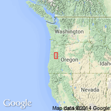
Named as uppermost member (of 4) of Willamette Formation [Silt]. Type locality designated as exposures from Greenback School, NE/4 SE/4 sec.4 T13S R4W, south 13 km to Irish Bend on Willamette River, Linn Co, OR. Consists of gray silt with iron-manganese concretions. Overlies Malpass, Irish Bend, or Wyatt Member (all new) of Willamette Silt. Age given as late Pleistocene.
Source: GNU records (USGS DDS-6; Menlo GNULEX).
For more information, please contact Nancy Stamm, Geologic Names Committee Secretary.
Asterisk (*) indicates published by U.S. Geological Survey authors.
"No current usage" (†) implies that a name has been abandoned or has fallen into disuse. Former usage and, if known, replacement name given in parentheses ( ).
Slash (/) indicates name conflicts with nomenclatural guidelines (CSN, 1933; ACSN, 1961, 1970; NACSN, 1983, 2005, 2021). May be explained within brackets ([ ]).