

- Usage in publication:
-
- Great Meadows Formation
- Modifications:
-
- Named
- Dominant lithology:
-
- Dolomite
- Limestone
- Sandstone
- AAPG geologic province:
-
- Appalachian basin
- New England province
Summary:
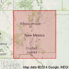
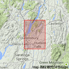
zzzzzNamed the Great Meadows Formation for Great Meadows Prison, east-central New York. Consists of 12 feet of coarse, cross-bedded sandstone at base, followed by a few feet of sandy, wormy dolomite, followed by 40 feet of dominantly dark, vermicular dolomite with occasional fossil shadow and lenses of limestone (Skene Member), followed by 2 feet of even-bedded, slightly dolomitic siltstone (Vly Summit Member), followed by 40 feet of dolomite with chert masses. The top of the Great Meadows is a persistent light gray limestone, weathering a gleaming white. Overlies the Baldwin Corner Formation and underlies the Fort Ann Formation. Age is Early Ordovician (Gasconadian), as indicated by nautiloid and other fossil evidence.
Source: GNU records (USGS DDS-6; Reston GNULEX).
- Usage in publication:
-
- Great Meadows Formation
- Modifications:
-
- Areal extent
- Revised
- AAPG geologic province:
-
- New England province
Summary:
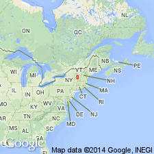
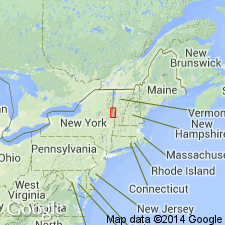
Geographically extended the Great Meadows Formation to southwestern VT and included the new Smith Basin Limestone Member. The Great Meadows is 39 to 79 meters thick and is of Early Ordovician (Canadian) age.
Source: GNU records (USGS DDS-6; Reston GNULEX).
- Usage in publication:
-
- Great Meadows Formation
- Modifications:
-
- Revised
- Redescribed
- AAPG geologic province:
-
- New England province
- Appalachian basin
Summary:
Revised the Great Meadows Formation to exclude the previous Skene Member (lowest part) and to include the (ascending) Winchell Creek Siltstone Member, Fort Edward Dolostone Member, and Smith Basin Limestone Member. The Great Meadow is largely equivalent to the Cutting Formation in VT. Overlies the Skene dolostone facies of the Whitehall Formation and underlies the Fort Ann Formation.
Source: GNU records (USGS DDS-6; Reston GNULEX).
- Usage in publication:
-
- Great Meadows Formation
- Modifications:
-
- Revised
- AAPG geologic province:
-
- Appalachian basin
- New England province
Summary:
Revised the Great Meadows Formation as part of the Beekmantown Group in east-central NY. Also included the new Kingsbury Limestone Member between the Winchell Creek Siltstone Member below and the Fort Edward Dolostone Member above.
Source: GNU records (USGS DDS-6; Reston GNULEX).
For more information, please contact Nancy Stamm, Geologic Names Committee Secretary.
Asterisk (*) indicates published by U.S. Geological Survey authors.
"No current usage" (†) implies that a name has been abandoned or has fallen into disuse. Former usage and, if known, replacement name given in parentheses ( ).
Slash (/) indicates name conflicts with nomenclatural guidelines (CSN, 1933; ACSN, 1961, 1970; NACSN, 1983, 2005, 2021). May be explained within brackets ([ ]).