The National Geologic Map Database is migrating to a new infrastructure. We apologize for any service disruptions during this process.
|
|---|


- Usage in publication:
-
- Gray porphyry group*
- Modifications:
-
- Revised
- AAPG geologic province:
-
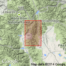
- Eagle basin
Summary:
Name applied to several varieties of porphyry in the Leadville district, Lake Co, CO in the Eagle basin. Includes some granodiorite porphyries, quartz monzonite porphyries, and quartz diorite porphyries. Four named porphyries recognized and several mapped (geologic maps) are the Lincoln porphyry, Johnson Gulch porphyry (new), Evans Gulch porphyry (new), and Mount Zion porphyry. Chemical analyses. Late Cretaceous or early Tertiary age assigned.
Source: GNU records (USGS DDS-6; Denver GNULEX).
For more information, please contact Nancy Stamm, Geologic Names Committee Secretary.
Asterisk (*) indicates published by U.S. Geological Survey authors.
"No current usage" (†) implies that a name has been abandoned or has fallen into disuse. Former usage and, if known, replacement name given in parentheses ( ).
Slash (/) indicates name conflicts with nomenclatural guidelines (CSN, 1933; ACSN, 1961, 1970; NACSN, 1983, 2005, 2021). May be explained within brackets ([ ]).