The National Geologic Map Database is migrating to a new infrastructure. We apologize for any service disruptions during this process.
|
|---|


- Usage in publication:
-
- Gray Gulch formation
- Modifications:
-
- Named
- Dominant lithology:
-
- Sandstone
- Shale
- Limestone
- Bentonite
- Ash
- Agglomerate
- AAPG geologic province:
-
- Wasatch uplift
Summary:
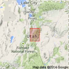
Name provisionally applied to pyroclastic beds above the Crazy Hollow formation (new, provisional name). Mapped in southwest part of area in T21S, R1E, Sanpete Co, UT on the Wasatch uplift. Temporary condition of name dependent on resolution of the stratigraphic relationship of Gray Gulch to the Moroni formation. Consists of sandstones and shales, some of volcanic derivation, freshwater limestones, bentonites, ash beds, agglomerates, etc. Has a gray to blue aspect. Some orange blotches. Maximum thickness is 700 ft. Overlain by lava. Tertiary age.
Source: GNU records (USGS DDS-6; Denver GNULEX).
For more information, please contact Nancy Stamm, Geologic Names Committee Secretary.
Asterisk (*) indicates published by U.S. Geological Survey authors.
"No current usage" (†) implies that a name has been abandoned or has fallen into disuse. Former usage and, if known, replacement name given in parentheses ( ).
Slash (/) indicates name conflicts with nomenclatural guidelines (CSN, 1933; ACSN, 1961, 1970; NACSN, 1983, 2005, 2021). May be explained within brackets ([ ]).