

- Usage in publication:
-
- Gravina series*
- Modifications:
-
- Named
- Dominant lithology:
-
- Conglomerate
- Shale
- Slate
- AAPG geologic province:
-
- Alaska Southeastern region
Summary:
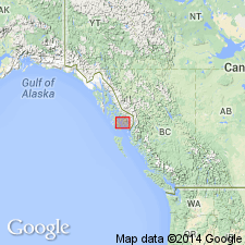
Occurs at Dall Head and elsewhere on southern side of Gravina Island, southeastern AK. Shown on geologic reconnaissance map of part of Ketchikan mining district. May also occur on Hunter Bay of Prince of Wales Island. Consists of massive conglomerates overlain by black shales or slates. Unconformably overlies Vallenar series (new). Is probably Cretaceous(?) age on basis that this series is probably equivalent to Mesozoic beds on Stikine, Taku, and Upper Lewis Rivers and elsewhere.
Source: GNU records (USGS DDS-6; Menlo GNULEX).
- Usage in publication:
-
- "Gravina series"†
- Modifications:
-
- Abandoned
- AAPG geologic province:
-
- Alaska Southeastern region
Summary:
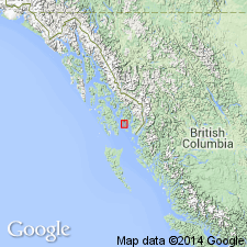
"Gravina series" of Brooks (1902) is now known to include two sedimentary formations --one of Triassic age and one of Jurassic or Cretaceous age based on fossil collections identified by T.W. Stanton. Geologic sketch map shows these two unnamed formations extend northwestward across Gravina Island occupying area formerly part of Vallenar "series" of Brooks (1902). [Name "Gravina" is evidently abandoned.]
Source: GNU records (USGS DDS-6; Menlo GNULEX).
For more information, please contact Nancy Stamm, Geologic Names Committee Secretary.
Asterisk (*) indicates published by U.S. Geological Survey authors.
"No current usage" (†) implies that a name has been abandoned or has fallen into disuse. Former usage and, if known, replacement name given in parentheses ( ).
Slash (/) indicates name conflicts with nomenclatural guidelines (CSN, 1933; ACSN, 1961, 1970; NACSN, 1983, 2005, 2021). May be explained within brackets ([ ]).