The National Geologic Map Database is migrating to a new infrastructure. We apologize for any service disruptions during this process.
|
|---|


- Usage in publication:
-
- [Grassy Ridge formation]
- Modifications:
-
- Original reference
- Dominant lithology:
-
- Volcanics
- AAPG geologic province:
-
- Eastern Columbia basin
- Idaho Mountains province
- Snake River basin
Summary:
Grassy Ridge Formation [informal]. Spilitic flow rocks and volcaniclastic rocks that overlie older rocks with angular unconformity. Thicknesses are 3,000 to 4,000 feet in northeast part of mapped area. No rocks of Grassy Ridge are exposed in southwest part of area. Unconformably overlain by Doyle Creek Formation [informal] (new). Age is Middle Triassic (Ladinian).
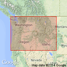
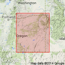
Type locality not stated. Mapped area lies between Wallowa Mountains of northeastern OR and Seven Devils Mountains of western ID. Part of Snake River Canyon included. [Derivation of name not stated, but probably named from exposures on west side of Grassy Ridge, in Snake River Canyon.]
[Although not indicated in US geologic names lexicon (USGS Bull. 1350, p. 220, 305), it is likely the Grassy Ridge and Doyle Creek formations were informally introduced.]
Source: US geologic names lexicon (USGS Bull. 1350, p. 305).
- Usage in publication:
-
- Grassy Ridge formation
- Modifications:
-
- Overview
- AAPG geologic province:
-
- Eastern Columbia basin
- Idaho Mountains province
- Snake River basin
Summary:
Pg. 26-27. Informal "Grassy Ridge Formation" introduced by Vallier (1967) in reference to exposures of Late Triassic spilite on west side of Grassy Ridge, Snake River Canyon. Consists of up to 4,000 feet of primarily spilitic pyroclastic rocks including tuffs and tuff breccias interbedded with lesser amounts of porphyritic to aphanitic flow rock, also of spilitic composition. Keratophyric rocks are very minor. lnterbedded with the volcanics are localized deposits of epiclastics which include conglomerates in the west and sandstones and siltstones in the south. According to Vallier (1967) the spilitic composition, abundant volcanic breccia, local carbonaceous limestone, and only minor development of conglomerate serve to distinguish the unit from the "Hunsaker Creek Formation." Differs from the younger "Doyle Creek Formation" in its lesser abundance of flow rock, its greenish rather than red hue, and its more subdued topographic relief. Vallier (1967) suggests deposition in a localized tectonic basin with sediments being derived primarily from a volcanically active western landmass of undefined extent. Unconformably overlies Permian strata. Correlates with parts of the Clover Creek Greenstone and "Imnaha Formation." Age is late Middle Triassic (Ladinian) and Late Triassic (Karnian), based on fossils (pelecypods and ammonites).
Source: Publication.
For more information, please contact Nancy Stamm, Geologic Names Committee Secretary.
Asterisk (*) indicates published by U.S. Geological Survey authors.
"No current usage" (†) implies that a name has been abandoned or has fallen into disuse. Former usage and, if known, replacement name given in parentheses ( ).
Slash (/) indicates name conflicts with nomenclatural guidelines (CSN, 1933; ACSN, 1961, 1970; NACSN, 1983, 2005, 2021). May be explained within brackets ([ ]).