The National Geologic Map Database is migrating to a new infrastructure. We apologize for any service disruptions during this process.
|
|---|


- Usage in publication:
-
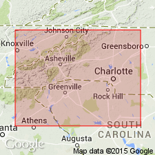
- Grassy Creek gneiss
- Modifications:
-
- Overview
- Dominant lithology:
-
- Gneiss
- AAPG geologic province:
-
- Piedmont-Blue Ridge province
Summary:
Informal Grassy Creek gneiss of McConnell and others (1986) is a biotite augen gneiss near Pilot Mountain in northwestern Surry Co., NC. Yields whole-rock Rb-Sr isochron age of 1173+/-33 Ma. Lithologically similar and probably equivalent to the Pilot Mountain gneiss, exposed approximately 2 km to the north in the town of Pilot Mountain. Grassy Creek contains alternating bands of coarse grained and fine-grained material. Nonconformably underlies Sauratown Formation (new name).
Source: GNU records (USGS DDS-6; Reston GNULEX).
For more information, please contact Nancy Stamm, Geologic Names Committee Secretary.
Asterisk (*) indicates published by U.S. Geological Survey authors.
"No current usage" (†) implies that a name has been abandoned or has fallen into disuse. Former usage and, if known, replacement name given in parentheses ( ).
Slash (/) indicates name conflicts with nomenclatural guidelines (CSN, 1933; ACSN, 1961, 1970; NACSN, 1983, 2005, 2021). May be explained within brackets ([ ]).