- Usage in publication:
-
- Grassy Branch Formation
- Modifications:
-
- Named
- Dominant lithology:
-
- Metasandstone
- Metaconglomerate
- Schist
- AAPG geologic province:
-
- Piedmont-Blue Ridge province
Summary:
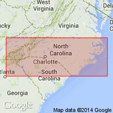
Named as a formation in Great Smoky Group of Ocoee series. Named for Grassy Branch, which flows into Alarka Creek. Previously mapped by King (1964) but not named. Typical exposures found in Great Smoky Mountains of NC along banks of Fontana Lake, at low water level, in following areas: 1) northern bank of Alarka Creek in Grassy Branch area, 2) northern bank of Little Tennessee River about 2 km downstream from US Rte 19, and 3) along western bank of Panther Creek just north of mouth of Wolf Creek. Consists of metasandstone, pebble metaconglomerate, and thinly bedded to laminated schist, all similar to Thunderhead Formation. Lower unit of Grassy Branch consists of thick, graded beds of metagraywacke with gray, thinly bedded to laminated schist, 100 to 150 m thick. Upper unit consists of spangled, thinly bedded to laminated schist with interbedded metasandstone bearing small amounts of pseudodiorite, 10 to 150 m thick. Total thickness is 100 to 300 m and is thickest in Grassy Branch area. Upper contact with Ammons Formation (new) and lower contact with Anakeesta Formation are conformable and gradational; contact zones vary from 1 to 5 m. Report includes geologic sketch map and correlation chart. Correlation chart shows Grassy Branch as correlating with Hughes Gap Formation of Great Smoky Group in GA. Age is late Precambrian.
Source: GNU records (USGS DDS-6; Reston GNULEX).

- Usage in publication:
-
- Grassy Branch
- Modifications:
-
- Overview
- AAPG geologic province:
-
- Piedmont-Blue Ridge province
Summary:
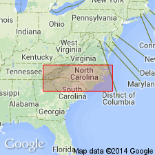
Metasandstone, metagraywacke, metasiltstone, and mica schist are lumped together as one unit within Late Proterozoic Great Smoky Group in Blue Ridge belt. Unit includes Hughes Gap and Hothouse Formations in southern area, Horse Branch Member of Ammons Formation and Grassy Branch Formation in northern area. [Copied from map text, is ambiguous about the rest of the Ammons.]
Source: GNU records (USGS DDS-6; Reston GNULEX).
For more information, please contact Nancy Stamm, Geologic Names Committee Secretary.
Asterisk (*) indicates published by U.S. Geological Survey authors.
"No current usage" (†) implies that a name has been abandoned or has fallen into disuse. Former usage and, if known, replacement name given in parentheses ( ).
Slash (/) indicates name conflicts with nomenclatural guidelines (CSN, 1933; ACSN, 1961, 1970; NACSN, 1983, 2005, 2021). May be explained within brackets ([ ]).

