

- Usage in publication:
-
- Graniteville Soil*
- Modifications:
-
- Named
- Dominant lithology:
-
- Soil
- Sand
- Gravel
- AAPG geologic province:
-
- Wasatch uplift
Summary:
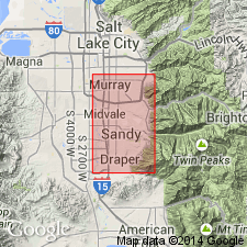
Named for the town of Graniteville, Salt Lake Co, UT on the Wasatch uplift. The type section is in SE1/4 SE1/4 sec 2, T3S, R1E. This soil is developed on the Little Cottonwood Formation (new), on till and outwash of Bull Lake Glaciation, and on alluvium of middle Lake Bonneville age. Was formed during time of accelerated weathering in later part of middle Lake Bonneville dessication interval. Occurs as Brown Podzolic soil in higher mountains, Noncalcic Brown soil on lower frontal mountain slopes and upper part of Cottonwood delta, through a local Brown Forest soil to a Calcic Brown soil at the edge of the basin. Measured sections. Described as a ll+ ft to 17+ ft thick unit that has a gravel, pebble, and cobble part and an overlying yellow, fine, medium, to coarse sand part that bears a soil. Nomenclature chart. Of late Pleistocene age.
Source: GNU records (USGS DDS-6; Denver GNULEX).
For more information, please contact Nancy Stamm, Geologic Names Committee Secretary.
Asterisk (*) indicates published by U.S. Geological Survey authors.
"No current usage" (†) implies that a name has been abandoned or has fallen into disuse. Former usage and, if known, replacement name given in parentheses ( ).
Slash (/) indicates name conflicts with nomenclatural guidelines (CSN, 1933; ACSN, 1961, 1970; NACSN, 1983, 2005, 2021). May be explained within brackets ([ ]).