- Usage in publication:
-
- Granger Mountain Member*
- Modifications:
-
- Named
- Dominant lithology:
-
- Quartzite
- Sandstone
- Limestone
- AAPG geologic province:
-
- Uinta basin
Summary:
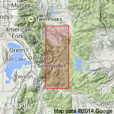
Named as the upper member of Oquirrh Formation for exposures on southeast flank of Granger Mountain, extending the walls of Right Fork of Hobble Creek from mouth of Days Canyon to mouth of Cedar Canyon, Wasatch Co, Uinta basin, UT. Consists of gray, limy silty, tan-weathering sandstone with abundant worm-like trail markings, some interbedded gray, red, and buff quartzite, light-gray sandstone, and thin to thick beds of gray limestone. Is 7,300 ft thick along crest of Wallsburg Ridge. Has Wolfcampian, or Early Permian fusulinids.
Source: GNU records (USGS DDS-6; Denver GNULEX).
For more information, please contact Nancy Stamm, Geologic Names Committee Secretary.
Asterisk (*) indicates published by U.S. Geological Survey authors.
"No current usage" (†) implies that a name has been abandoned or has fallen into disuse. Former usage and, if known, replacement name given in parentheses ( ).
Slash (/) indicates name conflicts with nomenclatural guidelines (CSN, 1933; ACSN, 1961, 1970; NACSN, 1983, 2005, 2021). May be explained within brackets ([ ]).

