- Usage in publication:
-
- Grand View dolomite*
- Modifications:
-
- Named
- Dominant lithology:
-
- Limestone
- AAPG geologic province:
-
- Idaho Mountains province
Summary:
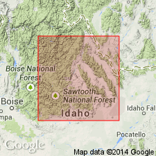
Named for Grand View Canyon (its type locality), T12N, R20E, Bayhorse quad, Custer Co, ID in the Idaho Mountains province. Section 1,170 ft thick measured in Grand View Canyon where the formation consists of coarse-grained dolomitic limestone. Some beds in canyon described as rusty yellow; some as "dark" but lighter then the underlying Middle Devonian Jefferson formation which is introduced into south-central ID in this paper. Some beds are sandy. Is older than the Mississippian Milligen formation. Contact with Milligen in Grand View canyon obscured by alluvium and by Tertiary rocks. Contact with Jefferson is slightly irregular and is a position of abrupt lithologic change. Age assignment based on lithology, stratigraphic relations, and fossil content. Fauna (brachiopods) of Three Forks age, or either late Middle Devonian or early Late Devonian. Questionably identified in Lemhi Range, ID. Correlation chart. Assigned to the Late Devonian.
Source: GNU records (USGS DDS-6; Denver GNULEX).

- Usage in publication:
-
- Grand View Dolomite [Member]
- Modifications:
-
- Revised
- AAPG geologic province:
-
- Idaho Mountains province
Summary:
Regarded as upper member of Jefferson Formation. Ross (1934) divided rocks equivalent to Jefferson in east-central ID, Idaho Mountains province, into Jefferson Dolomite and the overlying Grand View Dolomite. Both of these units should be regarded as members of Jefferson Formation. Section 27 in Grand View Canyon, ID (fig. 12) shows Jefferson divided into unnamed lower part and Grand View in upper part. [Author does not specifically assign member rank to Grand View.] Grand View has been differentiated only in northern Lost River Range near its type. Conformably underlies Three Forks Formation. Late Devonian age.
Source: GNU records (USGS DDS-6; Denver GNULEX).

- Usage in publication:
-
- Grand View Dolomite*
- Modifications:
-
- Overview
- AAPG geologic province:
-
- Idaho Mountains province
Summary:
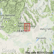
Mapped as narrow northwest striking exposure in northeastern part of quad, north of Mackay, Custer Co, ID, Idaho Mountains province. Consists of gray, reddish-brown-weathering dolomite. No thickness given. Overlies Jefferson Dolomite; underlies Three Forks Limestone. Assigned Late Devonian age.
Source: GNU records (USGS DDS-6; Denver GNULEX).
For more information, please contact Nancy Stamm, Geologic Names Committee Secretary.
Asterisk (*) indicates published by U.S. Geological Survey authors.
"No current usage" (†) implies that a name has been abandoned or has fallen into disuse. Former usage and, if known, replacement name given in parentheses ( ).
Slash (/) indicates name conflicts with nomenclatural guidelines (CSN, 1933; ACSN, 1961, 1970; NACSN, 1983, 2005, 2021). May be explained within brackets ([ ]).

