- Usage in publication:
-
- Grand Portage Lavas*
- Modifications:
-
- Overview
- AAPG geologic province:
-
- Lake Superior region
Summary:
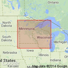
Present in northeastern MN in Lake Superior region. Forms the basal volcanic unit of the North Shore Volcanic Group. Is reversely polarized. Unconformably overlies Puckwunge Sandstone and underlies Hovland Lavas. Is equivalent to part of Powder Mill Group in northern MI and WI. Correlation chart. Is part of the early Keweenawan eruptive sequence, or Middle Proterozoic in age.
Source: GNU records (USGS DDS-6; Denver GNULEX).
For more information, please contact Nancy Stamm, Geologic Names Committee Secretary.
Asterisk (*) indicates published by U.S. Geological Survey authors.
"No current usage" (†) implies that a name has been abandoned or has fallen into disuse. Former usage and, if known, replacement name given in parentheses ( ).
Slash (/) indicates name conflicts with nomenclatural guidelines (CSN, 1933; ACSN, 1961, 1970; NACSN, 1983, 2005, 2021). May be explained within brackets ([ ]).

