

- Usage in publication:
-
- Grampian limestone*
- Modifications:
-
- Named
- Dominant lithology:
-
- Limestone
- Shale
- AAPG geologic province:
-
- Great Basin province
Summary:
Grampian limestone. Heavy-bedded blue and gray limestone, in part dolomitic, with limy shale at top. Thickness 4,000+ feet. Underlies (probably conformably) Morehouse quartzite. Oldest formation exposed in Frisco region, southwestern Utah. Lower Ordovician (Chazy and Beekmantown) fossils in upper part. Lower part may be Upper Cambrian.
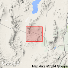
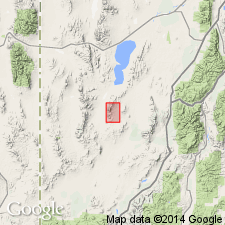
Type locality: Grampian Hills, [in T. 27 S., R. 13 W.], Frisco district, [Beaver Co.], southwestern UT.
Source: US geologic names lexicon (USGS Bull. 896, p. 850).
- Usage in publication:
-
- Grampian Limestone
- Modifications:
-
- Not used
Summary:
The author found Middle? and Late Cambrian, Middle Ordovician, Early Mississippian? and Early Pennsylvanian fossils in Butler's (1913) Grampian Limestone. The Cambrian strata cannot be correlated with named Cambrian formations because: the fossils are scarce and poorly preserved; the rocks are dolomitized. The Ordovician rocks are assigned to the Pogonip Group. The Mississippian beds are too limited in extent to use in correlation. The Early Pennsylvanian beds are assigned to the Ely Limestone. Term Grampian Limestone not used.
Source: GNU records (USGS DDS-6; Denver GNULEX).
For more information, please contact Nancy Stamm, Geologic Names Committee Secretary.
Asterisk (*) indicates published by U.S. Geological Survey authors.
"No current usage" (†) implies that a name has been abandoned or has fallen into disuse. Former usage and, if known, replacement name given in parentheses ( ).
Slash (/) indicates name conflicts with nomenclatural guidelines (CSN, 1933; ACSN, 1961, 1970; NACSN, 1983, 2005, 2021). May be explained within brackets ([ ]).