The National Geologic Map Database is migrating to a new infrastructure. We apologize for any service disruptions during this process.
|
|---|


- Usage in publication:
-
- Graham jasper*
- Modifications:
-
- Original reference
- Dominant lithology:
-
- Jasper
- AAPG geologic province:
-
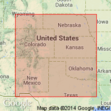
- Central Kansas uplift
Summary:
Pg. 51. Graham jasper, the horizon of jasper near upper limit of Smoky Hill chalk in Kansas. Age is Late Cretaceous.
Named from Graham Co., northwestern KS.
Source: US geologic names lexicon (USGS Bull. 896, p. 848).

- Usage in publication:
-
- Graham Jasper
- Modifications:
-
- Abandoned
- AAPG geologic province:
-
- Central Kansas uplift
Summary:
†Graham Jasper (in Niobrara Formation) abandoned.
Source: US geologic names lexicon (USGS Bull. 1200, p. 1559).
For more information, please contact Nancy Stamm, Geologic Names Committee Secretary.
Asterisk (*) indicates published by U.S. Geological Survey authors.
"No current usage" (†) implies that a name has been abandoned or has fallen into disuse. Former usage and, if known, replacement name given in parentheses ( ).
Slash (/) indicates name conflicts with nomenclatural guidelines (CSN, 1933; ACSN, 1961, 1970; NACSN, 1983, 2005, 2021). May be explained within brackets ([ ]).