- Usage in publication:
-
- Government Draw Bentonite Beds*
- Modifications:
-
- Named
- Dominant lithology:
-
- Bentonite
- Shale
- AAPG geologic province:
-
- Williston basin
Summary:
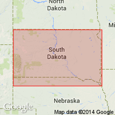
Named as a unit of bed rank in lower part of Virgin Creek Member of Pierre Shale for exposures on west-facing bank of Government Draw, Stanley Co, SD in Williston basin. Type locality is in sec 22, T5N, R28E, 8 ft above stream level at elevation 1,825 ft. Consists of four yellowish-white bentonite beds designated B1, B2, B3, and B4, and three intervening gray shale beds designated S1, S2, and S3. Beds B1 and B3 are the base and top beds, respectively, of Government Draw. Have an areal extent of 130 sq mi. Are 13 in thick at type. Range from 12-19 in thick. Are of Late Cretaceous age. Overlie and underlie unnamed parts of Virgin Creek.
Source: GNU records (USGS DDS-6; Denver GNULEX).
For more information, please contact Nancy Stamm, Geologic Names Committee Secretary.
Asterisk (*) indicates published by U.S. Geological Survey authors.
"No current usage" (†) implies that a name has been abandoned or has fallen into disuse. Former usage and, if known, replacement name given in parentheses ( ).
Slash (/) indicates name conflicts with nomenclatural guidelines (CSN, 1933; ACSN, 1961, 1970; NACSN, 1983, 2005, 2021). May be explained within brackets ([ ]).

