

- Usage in publication:
-
- Gordonville Member
- Modifications:
-
- Original reference
- Dominant lithology:
-
- Dolomite
- Limestone
- AAPG geologic province:
-
- Ozark uplift
- Illinois basin
- Upper Mississippi embayment
Summary:
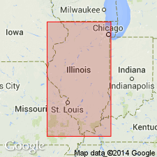
Pg. 13 (fig. 2), 54. Gordonville Member of Dutchtown Formation. Normally consists of dolomite with subordinate amounts of limestone. Thickness 50 feet in well at Cape Girardeau, eastern Missouri, over 45 feet in southernmost Jackson County, southeastern Illinois, to 97 feet in Pulaski County, near Mound City; 130 feet in well in Ballard County, northwestern Kentucky. Corresponds to lower member of Dutchtown as used by McQueen (1937). Underlies Sharpsboro member (new). Age is Middle Ordovician (Champlainian).
Type section: Geiser quarry on north side of State Highway 75, 1.25 mi east of Dutchtown, in SW/4 NW/4 [SW/4?] NW/4 sec. 20 (projected), T. 30 N., R. 13 E., Cape Girardeau quadrangle, Cape Girardeau Co., eastern MO. Named from Gordonville, Cape Girardeau Co., eastern MO, 4.5 mi northwest of type section.
Source: US geologic names lexicon (USGS Bull. 1350, p. 299).
For more information, please contact Nancy Stamm, Geologic Names Committee Secretary.
Asterisk (*) indicates published by U.S. Geological Survey authors.
"No current usage" (†) implies that a name has been abandoned or has fallen into disuse. Former usage and, if known, replacement name given in parentheses ( ).
Slash (/) indicates name conflicts with nomenclatural guidelines (CSN, 1933; ACSN, 1961, 1970; NACSN, 1983, 2005, 2021). May be explained within brackets ([ ]).