

- Usage in publication:
-
- Gordon Creek shale member
- Modifications:
-
- Original reference
- Dominant lithology:
-
- Shale
- AAPG geologic province:
-
- Mid-Gulf Coast basin
Thomas, E.P., 1942, The Claiborne: Mississippi Geological Survey Bulletin, no. 48, 96 p.
Summary:
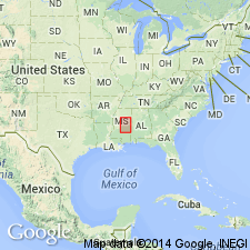
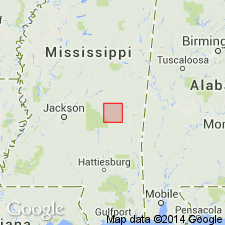
Pg. 54, 57-59, profile B. Gordon Creek shale member of Wautubbee formation. Defined as uppermost member of Wautubbee formation in eastern Mississippi. Carbonaceous shale to blocky clay, chocolate-brown to light-yellowish-gray to red; basal 2 feet sandy and glauconitic and heterogeneous; typical feature of member is a thin ledge of white, sparingly glauconitic, siliceous siltstone that occurs 2 feet above base. Thickness 15 to 25 feet. Overlies Potterchitto member (new) with contact conformable and sharply defined; [underlies] Cockfield formation. [Age is Eocene.]
Type section: along U.S. Highway 11 from Basic City to Pachuta, Clark, and Lauderdale Cos., eastern MS. Named from Gordon Creek, which flows through Wautubbee Station, and which is crossed by U.S. Highway 11 a short distance south of the station.
Source: US geologic names lexicon (USGS Bull. 1200, p. 1548).
- Usage in publication:
-
- Gordon Creek shale member*
- Modifications:
-
- Revised
- AAPG geologic province:
-
- Mid-Gulf Coast basin
Summary:
Gordon Creek shale member of Cook Mountain formation. Considered uppermost member of Cook Mountain formation. [Age is Eocene.]
Source: US geologic names lexicon (USGS Bull. 1200, p. 1548).
- Usage in publication:
-
- Gordon Creek Shale Member
- Modifications:
-
- Areal extent
- AAPG geologic province:
-
- Mid-Gulf Coast basin
Summary:
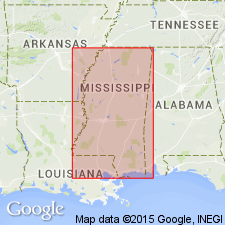
Gordon Creek Shale Member of Cook Mountain Formation of Claiborne Group. In outcrop is grayish brown to medium dark-gray, sandy, silty, thinly bedded shale, as well as silty, clayey, well-cemented, glauconitic sandstone and siltstone interbedded and interlaminated with unconsolidated sand, silt and clay. It is similar in lithology and appearance to the Zilpha and portions of the Hatchetigbee Formation. Maximum thickness in Newton County is 38 feet, where in the subsurface it is composed of pale yellowish-brown to medium-gray, slightly calcareous, silty, sandy, glauconitic, carbonaceous shale. Conformably overlies Potterchitto Member of Cook Mountain and, except locally, conformably underlies Cockfield Formation; all of Claiborne Group. Sediments interpreted as marine shelf and prodelta. Age is Eocene.
Source: Modified from GNU records (USGS DDS-6; Reston GNULEX).
- Usage in publication:
-
- Gordon Creek Shale Member
- Modifications:
-
- Overview
- AAPG geologic province:
-
- Mid-Gulf Coast basin
Summary:
Gordon Creek Shale Member of Cook Mountain Formation of Claiborne Group. Equivalent to upper part of Shipps Creek Shale Member of Cook Mountain in updip (north) area. Conformably underlies Cockfield Formation and overlies Potterchito Member of Cook Mountain. In downdip (south) area, overlies Cook Mountain or CAMERINA limestone, and unconformably underlies Gosport Sand. Age is middle Eocene (Bartonian); nannofossil zones NP16 to NP17, planktic foram zone P14 (T. ROHRI zone).
Source: Publication.
For more information, please contact Nancy Stamm, Geologic Names Committee Secretary.
Asterisk (*) indicates published by U.S. Geological Survey authors.
"No current usage" (†) implies that a name has been abandoned or has fallen into disuse. Former usage and, if known, replacement name given in parentheses ( ).
Slash (/) indicates name conflicts with nomenclatural guidelines (CSN, 1933; ACSN, 1961, 1970; NACSN, 1983, 2005, 2021). May be explained within brackets ([ ]).