- Usage in publication:
-
- Goldmine Branch Formation*
- Modifications:
-
- Named
- Dominant lithology:
-
- Gneiss
- Schist
- Amphibolite
- Quartzite
- AAPG geologic province:
-
- Piedmont-Blue Ridge province
Summary:
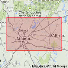
Named as a formation in allochthonous oceanic assemblage. Named for Goldmine Branch, Yorkville quad, Paulding Co., northwestern GA. Type section is designated as saprolite outcrops in roadside ditches along first unpaved road to the east from GA Hwy 101/113 south of Yorkville radio (microwave) towers, Yorkville quad. Unit is poorly exposed even in streams because of its tendency to weather deeply. Mapped only in Yorkville and adjoining Taylorsville and Burnt Hickory Ridge quads. Consists of feldspathic gneiss, garnetiferous schist, nongarnetiferous schist, amphibolite, and scattered thin quartzite, manganiferous schist, and manganiferous quartzite. Thickness is unknown. Age is Late Proterozoic(?) to Middle Ordovician(?), the age assigned to all allochthonous rocks in region.
Source: GNU records (USGS DDS-6; Reston GNULEX).
For more information, please contact Nancy Stamm, Geologic Names Committee Secretary.
Asterisk (*) indicates usage by the U.S. Geological Survey. Other usages by state geological surveys.
"No current usage" (†) implies that a name has been abandoned or has fallen into disuse. Former usage and, if known, replacement name given in parentheses ( ).
Slash (/) indicates name does not conform with nomenclatural guidelines (CSN, 1933; ACSN, 1961, 1970; NACSN, 1983, 2005). This may be explained within brackets ([ ]).

