- Usage in publication:
-
- Gold Hill Complex
- Modifications:
-
- Named
- Geochronologic dating
- Dominant lithology:
-
- Gneiss
- AAPG geologic province:
-
- Southern Rocky Mountain region
Summary:
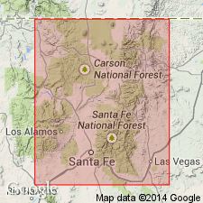
Named for exposures at Gold Hill, 7 km north of Twinning, NM, Red River quad, Taos Co, NM, Southern Rocky Mountain region. Stratotype is at Gold Hill in the Taos Range. Consists of mafic and felsic layered gneiss. Contains intrusive rocks that were metamorphosed and multiply deformed. Includes interlayered feldspathic gneiss, biotite-hornblende gneiss, hornblende gneiss, and amphibole. U-Pb zircon data from a felsic metatuff near Gold Hill yielded an age of 1,765 Ma. Geologic map; nomenclature chart. Assigned to the Early Proterozoic. Relationship within this layered gneiss and between it and adjacent felsic volcanic rocks to north unknown. Known only in the Taos Range.
Source: GNU records (USGS DDS-6; Denver GNULEX).
For more information, please contact Nancy Stamm, Geologic Names Committee Secretary.
Asterisk (*) indicates published by U.S. Geological Survey authors.
"No current usage" (†) implies that a name has been abandoned or has fallen into disuse. Former usage and, if known, replacement name given in parentheses ( ).
Slash (/) indicates name conflicts with nomenclatural guidelines (CSN, 1933; ACSN, 1961, 1970; NACSN, 1983, 2005, 2021). May be explained within brackets ([ ]).

