

- Usage in publication:
-
- Golconda formation
- Modifications:
-
- Named
- Dominant lithology:
-
- Limestone
- Shale
- AAPG geologic province:
-
- Illinois basin
Summary:
Original reference; named Golconda in a stratigraphic table. "Limestone and shales, variable in color and character; a red shale has been seen in places; thickness 100 to 215 feet." Overlies Cypress; underlies Hardinsburg.
Source: GNU records (USGS DDS-6; Reston GNULEX).
- Usage in publication:
-
- Golconda Formation*
- Modifications:
-
- Overview
- AAPG geologic province:
-
- Illinois basin
Summary:
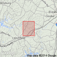
Golconda Formation divided into Beech Creek Limestone Member, Big Clifty Sandstone Member, and Haney Limestone Member (ascending). Underlain by Elwren Sandstone of Malott (1919); overlain by Hardinsburg Sandstone. This publication one of many U.S. Geological Survey geologic quadrangle maps showing Golconda Formation mapped in KY between 1962 and 1978.
Source: GNU records (USGS DDS-6; Reston GNULEX).

- Usage in publication:
-
- Golconda Group
- Modifications:
-
- Overview
- AAPG geologic province:
-
- Illinois basin
Summary:
Current (1975) usage of Illinois Geological Survey is Golconda Group. Comprises the Beech Creek Limestone, Fraileys Shale, and Haney Limestone (ascending). Ranges in thickness from 60 to 180 ft.
Source: GNU records (USGS DDS-6; Reston GNULEX).
- Usage in publication:
-
- Golconda Formation
- Modifications:
-
- Overview
- AAPG geologic province:
-
- Appalachian basin
Summary:
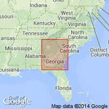
Current usage (1976) of Georgia Geologic Survey is Golconda Formation.
Source: GNU records (USGS DDS-6; Reston GNULEX).
- Usage in publication:
-
- Golconda Formation
- Modifications:
-
- Overview
- AAPG geologic province:
-
- Illinois basin
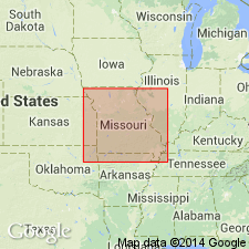
Anderson, K.H., 1979, Geologic Map of Missouri: Missouri Geological Survey
Summary:
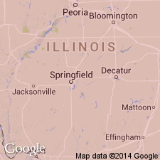
Current (1979) usage of Missouri Geological Survey is Golconda Formation. Occurs in southeast Missouri. Underlain by Cypress Formation; overlain by Hardinsburg Formation.
Source: GNU records (USGS DDS-6; Reston GNULEX).

- Usage in publication:
-
- Golconda
- Modifications:
-
- Not used
- AAPG geologic province:
-
- Illinois basin
Summary:
Golconda Formation not currently recognized in Indiana by Indiana Geological Survey. Unit previously called Golconda Limestone included in what is now known as Haney Limestone plus underlying shale unit now assigned as Indian Springs Shale Member to Big Clifty Formation. The Golconda of IN included only the upper part of the section known as Golconda in KY and IL.
Source: GNU records (USGS DDS-6; Reston GNULEX).
- Usage in publication:
-
- Golconda Formation
- Modifications:
-
- Revised
- AAPG geologic province:
-
- Illinois basin
Summary:
Pg. 7; also Weibel and others, 1991, Illinois Geol. Survey Geol. Quad. Ser. IGQ-8. Golconda Formation of Pope Group (both revised). Golconda, reduced to formation rank in this report, includes (ascending) Beech Creek Limestone Member, Fraileys Shale Member, and Haney Limestone Member (all reduced in rank). Beech Creek and Fraileys not exposed in Waltersburg quadrangle, Pope County, southeastern Illinois; only the Haney is exposed. Age is Late Mississippian (Chesterian).
Source: Publication.
For more information, please contact Nancy Stamm, Geologic Names Committee Secretary.
Asterisk (*) indicates published by U.S. Geological Survey authors.
"No current usage" (†) implies that a name has been abandoned or has fallen into disuse. Former usage and, if known, replacement name given in parentheses ( ).
Slash (/) indicates name conflicts with nomenclatural guidelines (CSN, 1933; ACSN, 1961, 1970; NACSN, 1983, 2005, 2021). May be explained within brackets ([ ]).