

- Usage in publication:
-
- Glory Hole Volcanics*
- Modifications:
-
- Named
- Dominant lithology:
-
- Breccia
- Tuff
- AAPG geologic province:
-
- Basin-and-Range province
Summary:
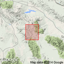
Named for Glory Hole mine in S1/2 sec 3, T8S, R18E, Pinal Co, AZ, Basin-and-Range province. No type locality designated. Crops out in southwest corner of quad. Are a flat-lying, rather drab and heterogeneous group of gray, brown, purple tuffs, welded tuffs, breccias, lavas, and flow breccias probably dominantly of andesitic or dacitic composition. Pyroclastic rocks more abundant than lavas or flow breccias in lower part. Is poor in mafic minerals. Petrographic descriptions. Are about 1,500 ft thick in one section on the south flank of the Galiuro Mountains. Total thickness unknown; base exposed at one locality. Are conformably or disconformably overlain by Galiuro Volcanics. Are intruded by Copper Creek Granodiorite (new). Considered Mesozoic and Cenozoic. Geologic map.
Source: GNU records (USGS DDS-6; Denver GNULEX).
For more information, please contact Nancy Stamm, Geologic Names Committee Secretary.
Asterisk (*) indicates published by U.S. Geological Survey authors.
"No current usage" (†) implies that a name has been abandoned or has fallen into disuse. Former usage and, if known, replacement name given in parentheses ( ).
Slash (/) indicates name conflicts with nomenclatural guidelines (CSN, 1933; ACSN, 1961, 1970; NACSN, 1983, 2005, 2021). May be explained within brackets ([ ]).