The National Geologic Map Database is migrating to a new infrastructure. We apologize for any service disruptions during this process.
|
|---|


- Usage in publication:
-
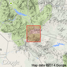
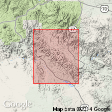
- Globe limestone*
- Modifications:
-
- Named
- Dominant lithology:
-
- Limestone
- Grit
- Shale
- Quartzite
- AAPG geologic province:
-
- Basin-and-Range province
Summary:
Named for exposures mapped in Globe district [source of name], Globe quad, Gila Co., AZ in the Basin-and-Range province. No type locality designated. Rests on Dripping Spring quartzite of Apache group with no visible angular unconformity. Is more than 800 ft thick. The top is eroded, so total original thickness unknown. Has a 10 ft calcareous grit at base locally. Grit is overlain by a gritty fossiliferous, crinoidal pinkish limestone which is overlain by gray and buff limestone that alternates with bands of calcareous shale, grit, and thin-bedded quartzite. Siliceous breccia with fragments of quartzite present locally. Collection of fossils yielded brachiopods (Spirifers, Productella, Atrypa, Cytrina, Dielasma, Derbya), cephalopods (Orthothetes), sponges, crinoids, fusulinids, bryozoans. The lower part at least 300 ft thick are Devonian and the upper part at least 500 ft thick are Upper Carboniferous. No unconformity appears to separate the two parts.
Source: GNU records (USGS DDS-6; Denver GNULEX).
- Usage in publication:
-
- Globe limestone*†
- Modifications:
-
- Abandoned
Summary:
Abandoned and replaced by Martin limestone of Devonian age, and overlying Tornado limestone of Carboniferous age.
Source: GNU records (USGS DDS-6; Denver GNULEX).
For more information, please contact Nancy Stamm, Geologic Names Committee Secretary.
Asterisk (*) indicates published by U.S. Geological Survey authors.
"No current usage" (†) implies that a name has been abandoned or has fallen into disuse. Former usage and, if known, replacement name given in parentheses ( ).
Slash (/) indicates name conflicts with nomenclatural guidelines (CSN, 1933; ACSN, 1961, 1970; NACSN, 1983, 2005, 2021). May be explained within brackets ([ ]).