- Usage in publication:
-
- Glenmary shale
- Modifications:
-
- Original reference
- Dominant lithology:
-
- Shale
- AAPG geologic province:
-
- Appalachian basin
Summary:
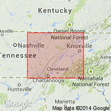
Pg. 6, 19, pls. 2, 3, 4. Glenmary shale of Crooked Fork group. Includes beds between top of Coalfield sandstone (new) and base of Wartburg sandstone. Thickness usually 40 to 80 feet; at type locality 50 feet; 64 feet in Crooked Fork section; in southeast corner of Barthell Southwest quadrangle 20 feet; disappears in northern part of this quadrangle as it is overlapped by Wartburg sandstone. Age is Early Pennsylvanian (Pottsville).
Named from Glenmary, Robbins quadrangle, Scott Co., eastern TN.
Source: US geologic names lexicon (USGS Bull. 1200, p. 1525).

- Usage in publication:
-
- Glenmary Shale
- Modifications:
-
- Areal extent
- AAPG geologic province:
-
- Appalachian basin
Summary:
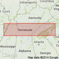
(East-central sheet; not separately mapped.) Glenmary Shale of Crooked Fork Group. Mostly dark-gray to light-brown shale with minor siltstone and sandstone. Locally includes thin coal near base. Thickness 50 to 80 feet. Lies below Wartburg Sandstone and above Coalfield Sandstone; both of Crooked Fork Group. Age is Pennsylvanian.
Source: Publication.

- Usage in publication:
-
- Glenmary Shale
- Modifications:
-
- Overview
- AAPG geologic province:
-
- Appalachian basin
Summary:
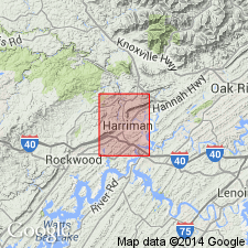
Glenmary Shale of Crooked Fork Group mapped in Roane and Morgan Cos., eastern TN. Unit consists of olive-gray to olive-black and medium-gray, silty to sandy shale with thin beds of medium light-gray, fine- to medium-grained, cross-bedded sandstone. Thin, unnamed coal seams separated by thin intervals of olive-gray, sandy shale occur locally in upper part of formation in northeast and north-central parts of Harriman quad. Thickness ranges from 120 to 260 ft in the study area. Overlies Coalfield Sandstone and underlies Wartburg Sandstone, both of Crooked Fork. Age is Early Pennsylvanian.
Source: GNU records (USGS DDS-6; Reston GNULEX).
For more information, please contact Nancy Stamm, Geologic Names Committee Secretary.
Asterisk (*) indicates published by U.S. Geological Survey authors.
"No current usage" (†) implies that a name has been abandoned or has fallen into disuse. Former usage and, if known, replacement name given in parentheses ( ).
Slash (/) indicates name conflicts with nomenclatural guidelines (CSN, 1933; ACSN, 1961, 1970; NACSN, 1983, 2005, 2021). May be explained within brackets ([ ]).

